
 Italiano
 Deutsch
5 Laghi, Val Sanguinio (completa)

Loop tour with many non-pedalable sections passing through the 5 Lakes Valley and down the very long Sanguinio Valley. Very trialistic descent. Start from Valgoglio, at an elevation of 900 meters. Climb on first paved, then beaten road until about 1800m.
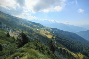
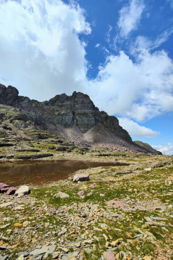
From here the all-pushing trail begins to the Lago Nero refuge. (About 300m positive elevation gain). Last water point.
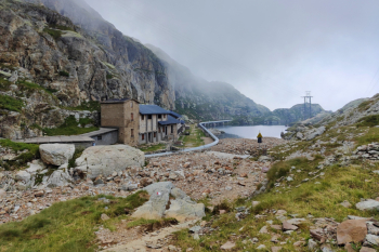
Continue with push and pedaled sections to Lake Aviasco.
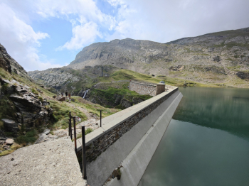
Last section (300 meters of elevation gain) push on less challenging slopes, last 30 meters before Aviasco pass very uncomfortable to do with bike on shoulder. Ascent to Aviasco mountain in sections rideable (emtb).
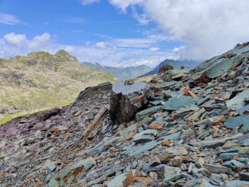
Flat 500-meter traverse on scree/gravel to Val Sanguinio pass. (Just before the pass there is an awkward step to do with bike in hand, better if you are two).
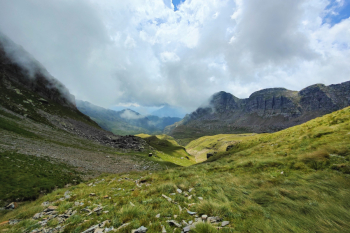
Here begins a very long descent (7km over 1000 meters of elevation gain) that in about 1-2 hours will take us to the Gianpace refuge. This is initially a freeride descent. Then on trail, often single track Al Mountain, with lots of interesting passages and many relaunches. Very enjoyable on emtb. Very exhausting on MTB (particularly because of the fatigue done earlier). Final descent from Gianpace hut on very rocky and super fun trail. Tour not for everyone, very physically demanding.
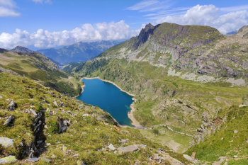
Notes: if you want, it is also possible to climb Pizzo Farno (further north) do a jump on the nearby mountain (unnamed) that offers an exaggerated view of all the lakes in the valley) and then descend always north.
Trail style: AM
Personal rating: 8/10
MTB: yes
EMTB: not recommended but not impossible
Duration about 8h
Portage: a millino
Exposure: various sections
Difficulty ascent:
Difficulty descent: S4/S3
Water points Ref Black Lake. Rif Gianpace
