
 Italiano
 Deutsch
2023/06/01 22:57:10
Grosotto - Monte Cornin
Author
Place
Italy - Lombardia, SO
Km
22,35 km
Elapsed time
04:59:50
Vertical meters
+1 519 mt (635 - 2126)
Route difficulty
Landscapes
Last update
2023/06/02 07:47:34
Comments
Hotels
Description
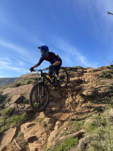
Departure from the parking lot near the fishing pond, right from the start hard ascent, asphalt in the direction of the Fusino dam, then deviates to dirt road to the Carrette hut.
From here on, bike push or shoulder for about 200 meters of elevation gain in alpine environment, up to the vent. Descent in alpine forest found clean very nice and fast, then on narrow winding mule track.
Watch out for the deadly bumpy mule track just as you arrive in the village!
Local weather
Thu 00:00

17 °C
Thu 12:00

26 °C
Fri 00:00

18 °C
Fri 12:00

24 °C
Sat 00:00
16 °C
Sat 12:00
28 °C
Graph
Nearest Routes
39,41 km
Km
+1 700 mt
Vertical meters
Route difficulty
Landscapes
30,12 km
Km
+1 531 mt
Vertical meters
Route difficulty
Landscapes
22,71 km
Km
+1 320 mt
Vertical meters
Route difficulty
Landscapes
22,81 km
Km
+1 200 mt
Vertical meters
Route difficulty
Landscapes
38,25 km
Km
+2 200 mt
Vertical meters
Route difficulty
Landscapes
2023/11/24
- Italy - Lombardia, SO 53,32 km
Km
+2 220 mt
Vertical meters
Route difficulty
Landscapes
51,85 km
Km
+2 100 mt
Vertical meters
Route difficulty
Landscapes
42,99 km
Km
+2 000 mt
Vertical meters
Route difficulty
Landscapes
27,19 km
Km
+1 698 mt
Vertical meters
Route difficulty
Landscapes
20,55 km
Km
+1 300 mt
Vertical meters
Route difficulty
Landscapes