2023/03/10 11:59:47
Chamois - Champlong. Giro orario
Author
Place
Italy - Valle d'Aosta, AO
Km
28,72 km
Elapsed time
03:29:25
Vertical meters
+1 121 mt (1203 - 2269)
Route difficulty
Landscapes
Last update
2024/09/19 17:27:32
Comments
Description
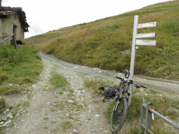
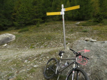
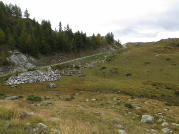
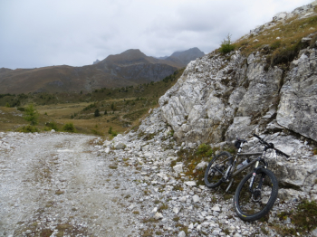
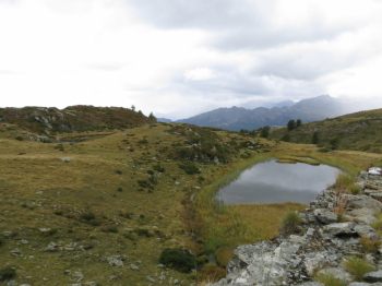
Departing above Antey St Andrè at an elevation of about 1300 m, proceed by asphalt to La Magdeleine and then left toward Verney using the poderale to Chamois, a wide and quiet dirt falsopiano of about 4 km suitable also for children. In Chamois, to avoid the village, you do not cross the bridge, you keep to the right. Here is one of the steep sections up to Crepin and Foresus. Proceed to the right (left would go in the direction of Cheneil) uphill into the forest with a few small tears and then more gently to the Champlong lakes (2317 mt). Proceed downhill to col Pilaz and then cross Artaz to return to the starting point.
Local weather

°C

°C

°C

°C

°C

°C
Graph
Nearest Routes
33,54 km
Km
+1 450 mt
Vertical meters
Route difficulty
Landscapes
2024/05/08
- Italy - Valle d'Aosta, AO 32,97 km
Km
+1 521 mt
Vertical meters
Route difficulty
Landscapes
47,61 km
Km
+2 400 mt
Vertical meters
Route difficulty
Landscapes
27,80 km
Km
+2 099 mt
Vertical meters
Route difficulty
Landscapes
36,06 km
Km
+950 mt
Vertical meters
Route difficulty
Landscapes
2022/09/04
- Italy - Valle d'Aosta, AO 32,99 km
Km
+1 458 mt
Vertical meters
Route difficulty
Landscapes
2022/09/16
- Italy - Valle d'Aosta, AO 45,84 km
Km
+2 206 mt
Vertical meters
Route difficulty
Landscapes
28,05 km
Km
+2 000 mt
Vertical meters
Route difficulty
Landscapes
15,98 km
Km
+625 mt
Vertical meters
Route difficulty
Landscapes
25,12 km
Km
+1 122 mt
Vertical meters
Route difficulty
Landscapes


 Italiano
 Deutsch