Italiano
 Deutsch
AM Becca d'Aver, Cima Longhede, Torgnon, Puy de Saint Evence and the wild Ru Chandianaz
"The Ardita Ascent and Descent."
Long and challenging loop starting from Borgo Chambave, climb on comfortable asphalt for about 18km never excessive until Col de Bornes,altitude 1820mt, where you take the obvious path that climbs directly to Becca d'Aver.
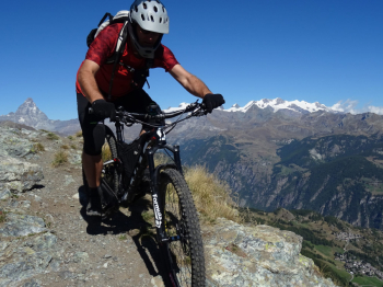
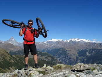
Here for 2km and about 650mt D+ forget about climbing in the saddle, climb all in healthy portage and little pushge up to Becca d'Aver at altitude 2460mt.
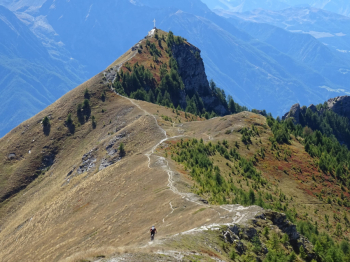
Fatigue will be rewarded for superlative views of the ridge that we will later ride all the way up to Cima Longhede.
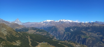
The view of the Matterhorn and the Monte Rosa Glaciers is exciting.
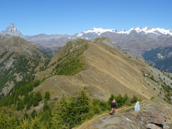
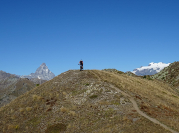
Reaching Cima Longhede, after riding all the way along the ridge, we turn back until we take the fork that cuts across the ridge passing over the paravalnghe, attention easy path but very narrow and quite exposed.
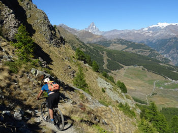
Once at Col d'Aver, the descent to Torgnon begins.
Superlative descent with Matterhorn view, very technical the upper part(S4-S5), from the middle onwards more affordable.
When you reach the asphalt you turn right to a refreshing fountain where then, for a long pedaled stretch, first on comfortable dirt road then on nice path a bit up and down immersed in a fantastic forest, you arrive at Col Saint Pantaleon.
Here behind the little church we take the little road path that will catapult us to the top of Puy Saint Evence, Super View of the valley below.
Short descent, initially rocky and steep then easy.
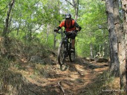
We arrive in Plau, here between various trails and medium difficulty cuts we arrive in Chatillon where we will take the wild Ru Chandianaz trail.
Fascinating path technically easy on a slight descent but not to be underestimated; in places very exposed on overhanging footbridges(safe in the saddle) and various crossings of the Ru on creaking wooden planks and torn manholes(some not to be seen).
We will arrive direct to our car nice and bearish, tired and alive.
NB: at the time of entry the route is entirely passable. Do not underestimate kmetrage and elevation gain and especially the descent from Becca d'Aver to Torgnon.
Very important Make sure that the Ru Chandianaz trail is entirely passable and open, a trail prone to landslides, poor maintenance and invasive vegetation.