HOME RANKINGS CHALLENGES ROUTES NEAR ME PLANNING SEARCH LOGIN
Italy - Trentino-Alto Adige/Südtirol, BZ
2023/03/05 10:12:56

Forcella di Vannes in val Passiria

4 Downloads
0
 
Share
Author
nonnocarb
(292)
Place
Italy - Trentino-Alto Adige/Südtirol, BZ
Km
85,71 km
Elapsed time
11:18:29
Vertical meters
+2 730 mt (313 - 2290)
Route difficulty
Landscapes
Last update
2023/03/06 07:58:58
Comments
0
Description

Very long and challenging route, but with beautiful views of Val Passiria and Val Sarentino and fun trails.
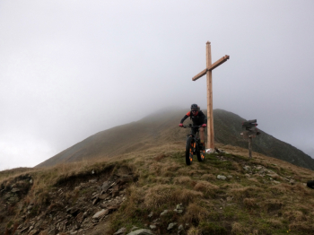
From Merano on the dirt bike path to St. Leonhard, then up to Valtina. You come pedaling up to the Gschlossalm, then all that's left to do is to climb with the bike on your back, however interspersed with parts that are still pedaled. The environment is very beautiful and wild. You arrive at the fork with beautiful views. There is still some climbing and pushing to do, however, because the direct downhill trail is only doable on foot.
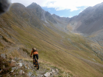
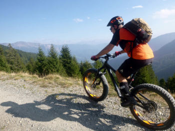
Then you go down a nice winding path to the Riobianco valley and on forest to the valley. Go down a stretch on asphalt, then on nice bike path and road again to the village of Campolasta (refreshment). Before the village of Sarentino you go up to the right, and arrive with a few hard stretches to the Ottenbacher alm (refreshment). From here flat to the Merano hut, and then down, first on forest road and then on trail to Merano.
Download our free mobile app to send this route to your Garmin device or to navigate it on OSM maps. Android - iOS
Local weather
Oggi
11 °C
Stasera
0 °C
Domani
10 °C
Domani sera
3 °C
giovedì
11 °C
Giovedì notte
5 °C
venerdì
12 °C
Venerdì notte
6 °C
sabato
12 °C
Sabato notte
6 °C

Graph

Nearest Routes

2024/07/26
- Italy - Trentino-Alto Adige/Südtirol, BZ
nonnocarb
(292)
64,32 km
Km
+2 400 mt
Vertical meters
Route difficulty
Landscapes
2023/03/04
- Italy - Trentino-Alto Adige/Südtirol, BZ
nonnocarb
(292)
58,50 km
Km
+1 370 mt
Vertical meters
Route difficulty
Landscapes
2023/03/01
- Italy - Trentino-Alto Adige/Südtirol, BZ
nonnocarb
(292)
61,03 km
Km
+2 156 mt
Vertical meters
Route difficulty
Landscapes
2023/03/01
- Italy - Trentino-Alto Adige/Südtirol, BZ
nonnocarb
(292)
53,70 km
Km
+1 570 mt
Vertical meters
Route difficulty
Landscapes
2022/11/01
- Italy - Trentino-Alto Adige/Südtirol, BZ
nonnocarb
(292)
42,55 km
Km
+2 157 mt
Vertical meters
Route difficulty
Landscapes
2022/10/28
- Italy - Trentino-Alto Adige/Südtirol, BZ
nonnocarb
(292)
52,87 km
Km
+1 754 mt
Vertical meters
Route difficulty
Landscapes
2024/10/10
- Italy - Trentino-Alto Adige/Südtirol, BZ
Staff
(84)
29,33 km
Km
+1 650 mt
Vertical meters
Route difficulty
Landscapes
2023/03/07
- Italy - Trentino-Alto Adige/Südtirol, BZ
nonnocarb
(292)
33,38 km
Km
+1 600 mt
Vertical meters
Route difficulty
Landscapes
2024/09/18
- Italy - Trentino-Alto Adige/Südtirol, BZ
nonnocarb
(292)
59,35 km
Km
+3 050 mt
Vertical meters
Route difficulty
Landscapes
2022/11/21
- Italy - Trentino-Alto Adige/Südtirol, BZ
nonnocarb
(292)
41,95 km
Km
+1 783 mt
Vertical meters
Route difficulty
Landscapes

0 Comments