2023/03/04 07:58:23
Da Bolzano a Chiusa passando per il Renon
Author
Place
Italy - Trentino-Alto Adige/Südtirol, BZ
Km
71,98 km
Elapsed time
07:35:20
Vertical meters
+2 000 mt (-55 - 2261)
Route difficulty
Landscapes
Last update
2023/03/04 08:05:32
Comments
Description
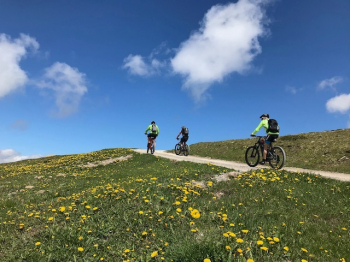
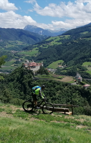
Very long and challenging route, but also very enjoyable and scenic. Ideal for e-bikes, especially for overcoming the very steep ascent from Bolzano, which can possibly also be done by cable car to Soprabolzano.

From here you then ascend by trails to the Rittner Horn with breathtaking 360° views and descend to the Villanders/Villandro Alp and to Klausen/Chiusa by forestry and trails. Return to Bolzano by bike path

Local weather

°C

°C

°C

°C

°C

°C
Graph
Nearest Routes
44,92 km
Km
+1 040 mt
Vertical meters
Route difficulty
Landscapes
2023/03/05
- Italy - Trentino-Alto Adige/Südtirol, BZ 41,94 km
Km
+2 000 mt
Vertical meters
Route difficulty
Landscapes
2023/02/26
- Italy - Trentino-Alto Adige/Südtirol, BZ 51,38 km
Km
+810 mt
Vertical meters
Route difficulty
Landscapes
2022/10/10
- Italy - Trentino-Alto Adige/Südtirol, BZ 46,71 km
Km
+1 235 mt
Vertical meters
Route difficulty
Landscapes
39,17 km
Km
+1 090 mt
Vertical meters
Route difficulty
Landscapes
18,06 km
Km
+972 mt
Vertical meters
Route difficulty
Landscapes
35,17 km
Km
+1 205 mt
Vertical meters
Route difficulty
Landscapes
2023/03/01
- Italy - Trentino-Alto Adige/Südtirol, BZ 48,48 km
Km
+1 910 mt
Vertical meters
Route difficulty
Landscapes
34,16 km
Km
+1 000 mt
Vertical meters
Route difficulty
Landscapes
2023/06/02
- Italy - Trentino-Alto Adige/Südtirol, BZ 40,24 km
Km
+3 321 mt
Vertical meters
Route difficulty
Landscapes


 Italiano
 Deutsch