

 Italiano
 Deutsch
2023/03/04 07:54:54
Meltina e Verano, sentiero 1
Author

Place
Italy - Trentino-Alto Adige/Südtirol, BZ
Km
52,00 km
Elapsed time
04:46:57
Vertical meters
+1 080 mt (237 - 1196)
Route difficulty
Landscapes
Last update
2023/03/04 08:05:01
Comments
Description
Very challenging route both uphill and downhill, ideal for e-bikes, but also very fun and scenic.

From Merano you reach Vilpiano on a bicycle path. From here we go up very hard ramps, also very bumpy in places, on the road up to the Meltina cable car. (Alternatively, you can take the cable car.) At the top we still go around to the village with a return on a nice path, then take the path to Verano.
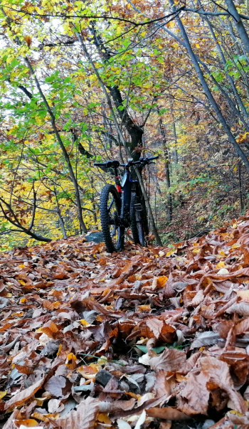
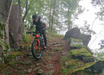
From here we follow trail 1 again, with some ups and downs and very steep final paved descent (not to be done in wet weather) to the Heacher farm (refreshment). Then last technical descent to Sinigo and return to Merano on bike path
Local weather
Tue 00:00

15 °C
Tue 12:00

17 °C
Wed 00:00

15 °C
Wed 12:00
14 °C
Thu 00:00

13 °C
Thu 12:00

15 °C

Graph
Nearest Routes
40,77 km
Km
+1 500 mt
Vertical meters
Route difficulty
Landscapes
2024/07/25
- Italy - Trentino-Alto Adige/Südtirol, BZ 81,06 km
Km
+2 150 mt
Vertical meters
Route difficulty
Landscapes
2023/03/04
- Italy - Trentino-Alto Adige/Südtirol, BZ 96,84 km
Km
+2 220 mt
Vertical meters
Route difficulty
Landscapes
2023/03/01
- Italy - Trentino-Alto Adige/Südtirol, BZ 69,97 km
Km
+1 740 mt
Vertical meters
Route difficulty
Landscapes
2024/09/18
- Italy - Trentino-Alto Adige/Südtirol, BZ 56,20 km
Km
+2 300 mt
Vertical meters
Route difficulty
Landscapes
2023/02/26
- Italy - Trentino-Alto Adige/Südtirol, BZ 48,20 km
Km
+1 800 mt
Vertical meters
Route difficulty
Landscapes
64,38 km
Km
+2 300 mt
Vertical meters
Route difficulty
Landscapes
2024/09/04
- Italy - Trentino-Alto Adige/Südtirol, BZ 64,42 km
Km
+1 900 mt
Vertical meters
Route difficulty
Landscapes
2023/03/04
- Italy - Trentino-Alto Adige/Südtirol, BZ 47,13 km
Km
+1 100 mt
Vertical meters
Route difficulty
Landscapes
44,14 km
Km
+2 100 mt
Vertical meters
Route difficulty
Landscapes