
 Italiano
 Deutsch
Mount Aiona
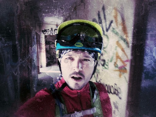
 Turn on the Dark Side of the Moon, Mt. Aiona!
Start in the Penna barracks area. On asphalt and then forest road up to the sawmill; keep right with continuous up and down; at a certain point take left for Prato Mollo uphill until you reach the Spingarda pass and here the eye begins to enjoy.
To reach Mount Aiona there is a not-too-long Portage section to overcome, where you get back on the saddle as soon as it flattens out...from here to the summit, if you are sufficiently stubborn, you can get to the top by pedaling...
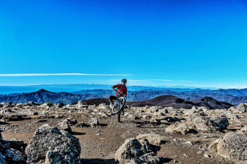
The summit is spatial, in a lunar setting, 360-degree views from the sea to the Apennines, Mt. Penna, Maggiorasca & Co. all the way to the Alps, among which super recognizable Monte Rosa and Monviso, phenomenal!!!
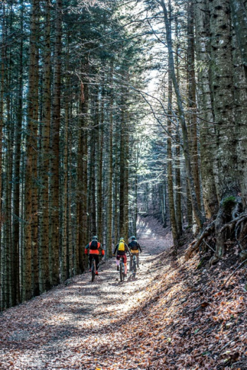
Here begins the descent, first on rocks then on grassland, ending up in the woods; we arrive at the Pre de Lame Pass and down again to Lake Lagoraie, a long and enjoyable descent, where there is no shortage of technical passages.
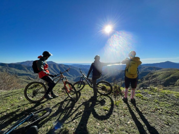
The time has come to ascend again, immediately forestry, then a nice traverse on path and then forestry again; gaining altitude you also regain the beautiful view. With the sea holding sway in the background, we pedal until we reach the Monte Aiona refuge; we leave the comfortable forestry for a path that is not cyclable but will quickly take us to Prati di Montenero.
We are aiming for Mt. Nero and the beautiful descent to Passo dell'Incisa, but this is not without a small price to pay in fatigue; for greater ease we reload the bike on our shoulders until we reach the Nero saddle; now we can pedal: the trail, which immediately is an up and down with some nice technical passages even uphill, is well liked; then the slope finally changes and points downhill and we speed towards the pass ( BEWARE OF PEDESTRIANS!! They always have the right of way!!).
When we reach the pass we just have to return to the car via forestry where we enjoy one last variation at the foot of Mount Penna.


