Bassa Val Susa - sent.558
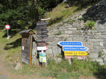
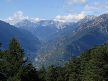
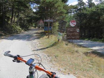
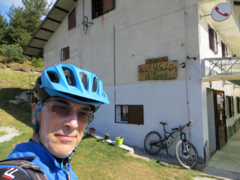
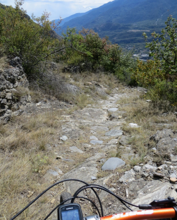
Start in Susa following the signs for Rifugio La Riposa and Rocciamelone. At Mompantero you can opt for the variant to the west Seghino and Borgata Periere, to take the wider dirt road back to Rifugio La Riposa. As you ascend there are some glimpses of the valley (photo) such as the Exilles and Chaberton fort. Conversely, the vegetation is ghostly due to the extensive fire that broke out in October 2017. Arriving at Alpe Prariondetto, elevation 1750 meters, we descend to the right for a few hundred meters to Borgata Il Trucco elevation 1700 meters.
At the entrance to the refreshment area, a trail starts with a signpost that after a few meters indicates trail 558 on the left. This is a narrow mule track of mostly fixed stones that leads to Seghino. From here by the uphill road you return to Susa.


 Italiano
 Deutsch