Italiano
 Deutsch
Amprimo Onelio (Rifugio) da Bussoleno - con discesa da sentiero dei partigiani

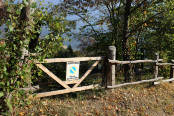
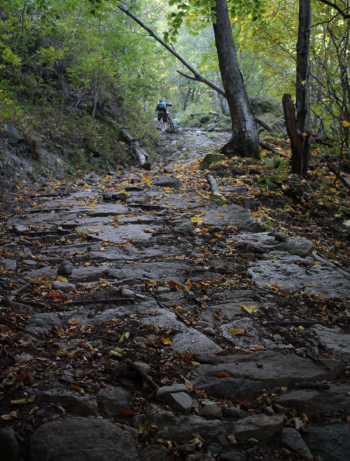
The ascent is mostly on a paved road with northern exposure and dense forest. From provincial road 24 arrive at the traffic circle and turn right: the first sign is a Pian Cervetto sign, then Grangia delle Alpi, Meineri and Pinetti. You arrive at a 30% slope with a partly stone-paved and partly uneven surface, impossible to pedal with muscular and with ebike; this section is the most challenging of the whole itinerary. With a final on a compact path you arrive at the Refuge.
The Toesca Refuge located at an altitude of 1,710 m. was inaugurated by the UET in 1923 while the Amprimo Refuge at an altitude of 1,384 m. by the Cai - UGET in 1939. Both were born out of the need for support points for the many hikes, considering also that since 1854 there had been the Turin-Susa railway.
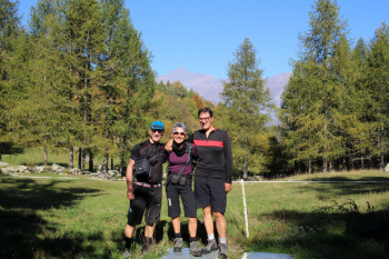
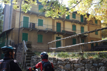
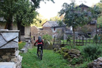
After a photo with the background of the Rocciamelone, we regroup and descend again to the plateau above the non-bikeable section, turn right and reach the hamlet of Cervetto. The most impressive building is definitely the Hotel Ristorante Cervetto, built in the early 1900s, and with several houses around it it testifies to a past of rural and tourist activity. The partisans' trail begins behind a small hill, the terrain is always compact, and we reach the recently renovated hamlet of Gros. This is followed by a section in the woods with quite a lot of foliage but few obstacles, ending in Ballai. From the hamlet the dirt road that shortly leads to the asphalt ascent road, which you follow downhill to the next hairpin bend, turn left following a nice, very easy path that ends in Tignai From here, after another short cut on the path, you descend on asphalt for a little more than 1 km, and then take a small path on the right that runs between 2 dry stone walls that ends on the ascent road a short distance from the parking lot.