Italiano
 Deutsch
Monte Arsenti Trail Area: Abracadabra, Bonatto, Rock&Roll Queen, Benedetto Trail
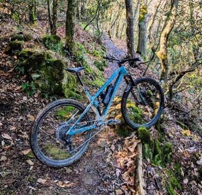
The route starts in Massa Marittima, alternating between bike paths and trails as you head toward the mountains. After the first downhill stretch, turn left onto the Sata trail, which crosses a small motocross track and then continues along the stream until it reaches the dirt road that climbs toward Monte Arsenti. From here, continue on the dirt road, alternating between old trails that wind through beautiful olive groves, until you rejoin the dirt road leading to the mountain hut and the summit of Monte Arsenti. This is a variation on the route taken on the first day, allowing you to reach the upper section of the bike park via a different and decidedly picturesque path. You start with a warm-up trail: Abracadabra (S1). A fast and fun descent, characterized by a continuous sequence of hairpin turns and well-shaped curves, a few steps, and small natural jumps. An excellent appetizer to get you into the rhythm of the trail area right away.
At the end of the trail, keep left and head back up along a beautiful singletrack that leads back to Monte Arsenti. The second descent raises the bar: it’s time for Bonatto. A technical yet smooth trail, rated S2, with some sections bordering on S3 level. The route alternates between parabolic turns, jumps, hairpin turns, and technical sections, maintaining a great pace throughout. A well-rounded and thoroughly fun trail where technical skill and flow combine perfectly. A real blast!
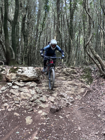
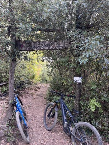
Once the descent is over, you return to Monte Arsenti via the dirt road and then tackle the climb up Spaghetti Uphill. It’s time for the third descent, once again with a significant increase in difficulty: Rock&Roll Queen. Here, the difficulty level becomes decidedly more challenging. The trail features some initial S3-level sections—which can be bypassed, however—before winding through hairpin turns, compressions, berms, wall rides, and jumps. A descent that alternates between highly technical sections and more flowing stretches, requiring focus and good bike control. Unfortunately, the final section was closed, so we completed the descent by following Bonatto’s route.
We headed back up toward Monte Arsenti, this time retracing the dirt road we’d taken that morning. To wrap up the day, we chose the Benedetto Trail—a truly spectacular finale. The route opens with a few technical rock sections rated S2, before transforming into a sequence of pure fun and flow. Hairpin turns with and without berms, jumps, more technical sections, and compressions alternate continuously, creating a varied, dynamic, and never-monotonous descent. A highly successful blend of technical skill and smooth riding, with constant changes in pace and a succession of curves and hairpin turns that invite you to let the bike run free. T
Once this final descent is complete, you rejoin the Sata trail and from there return to Massa Marittima, following secondary roads and bike paths. A second intense and highly rewarding day, featuring four very different trails, progressively increasing difficulty, and an excellent mix of technical sections, flow, and fun. Monte Arsenti reaffirms itself as a trail area capable of offering varied and stimulating routes, where every descent has its own identity and there’s never a shortage of opportunities for fun.