Italiano
 Deutsch
Creste del Gran Sasso

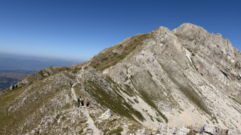
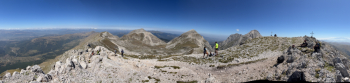
A major high-altitude mountain biking traverse in the heart of the Gran Sasso, from the lunar-like expanses of Campo Imperatore to the lofty ridges of Cefalone and Malecoste, all the way to the most secluded mountains of Camarda, Ienca, and San Franco. An extremely scenic, technical, and physically demanding route that winds through some of the most spectacular landscapes of the Central Apennines. This long high-altitude traverse connects some of the most scenic peaks along the western ridge, alternating between rideable stretches, long sections where you’ll have to carry your bike over exposed terrain, and technical passages in an alpine setting.
Starting from Campo Imperatore (over 2,100 meters), which can be reached via the convenient cable car from Fonte Cerreto, the route immediately immerses you in the unique atmosphere of the so-called “Little Tibet of Abruzzo,” with the vast open spaces of the plateau and the silhouette of Corno Grande always in the background. The first section alternates between sections where you ride and others where you walk your bike to the Valico della Portella, a historic pass connecting the L’Aquila side with Val Maone and the Teramo area. From here, one of the Gran Sasso’s most famous panoramas unfolds: the Corno Grande and the Corno Piccolo dominate the horizon with their limestone cliffs.
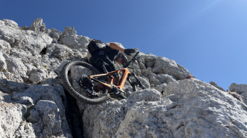
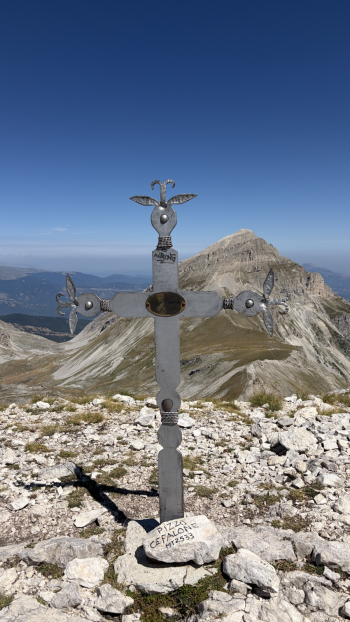
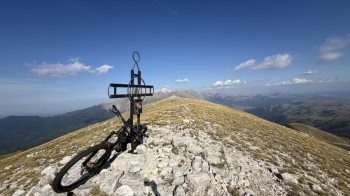
From the pass, the route continues toward Pizzo Cefalone (2,533 meters), the highest point on the western ridge of the Gran Sasso. The climb becomes significantly more challenging and often requires you to push or carry your bike on your shoulders during the steepest and rockiest sections. The summit offers an exceptional view of all the main peaks of the Central Apennines.
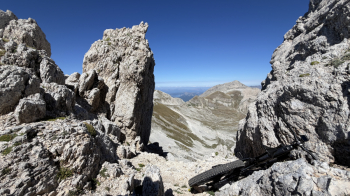
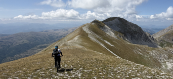
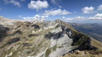
From the summit, you descend about 70 meters to rejoin a very exposed and technical trail—one that must be navigated entirely on foot while carrying your bike—following the spectacular Cresta delle Malecoste, one of the most scenic areas of the entire massif, all the way to Cima Giovanni Paolo II.Once past the summit, the traverse continues along spectacular ridges where you can stay in the saddle for most of the ridge until you reach Pizzo di Camarda (about 2,330 meters), another iconic peak in the area.
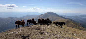
The climb to Pizzo di Camarda is very challenging and also requires carrying your bike on your shoulders for a few hundred meters, though never to an extreme degree. The landscape is wilder and less frequented than the Cefalone area. The descent from Pizzo di Camarda is very straightforward, presenting no particular difficulties until you reach Lake Camarda, where herds of horses and cattle graze. From the lake, the route climbs along a ridge—entirely rideable on an e-bike—to Monte Ienca (2,208 meters), a mountain particularly well-known for being a favorite of Pope John Paul II during his visits to Abruzzo.
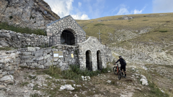
The final part of the route descends from Monte Ienca via a fairly simple freeride trail; after passing the Belvedere Pass, the route climbs again—an ascent that is 80% rideable—to Monte San Franco (2,135 meters), the highest point of the traverse. From here begins the long and rewarding descent into the valley, along a CAI trail that is never difficult, passing by the chapel and spring of San Franco, which quenches our thirst after such a long traverse (be careful, as the water is not officially designated as potable). Once you reach the intersection with the state highway, continue toward Vasto and the valley of the same name; a beautiful trail through the woods, running alongside the stream, takes you back to Assergi.