Italiano
 Deutsch
Cima Terre Fredde Laione
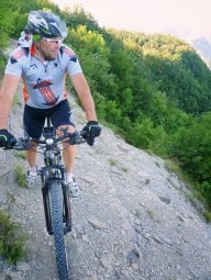
The route starts at Blumon Break, in the Piana del Gaver, for an authentic mountain biking adventure that connects Cima Terre Fredde and Monte Laione, passing through one of the most spectacular and wild landscapes in the area. From Blumon Break Gaver, head uphill toward the Goletto di Gaver, then continue toward Corna Bianca and Lago della Vacca. This first section is almost entirely rideable and allows you to gain elevation at a steady pace.
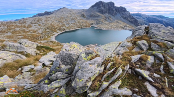
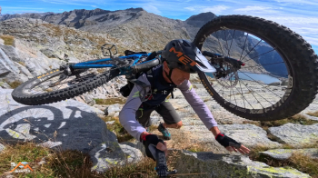
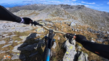
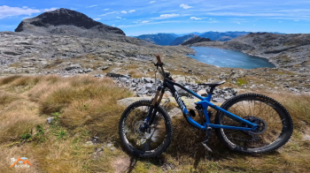
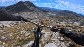
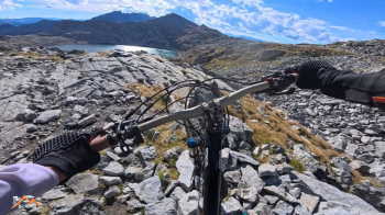
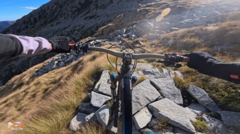
From Corna Bianca, the situation changes: to reach Passo della Vacca, you’ll mostly have to push your bike (a non-electric bike, of course). Once you reach Passo della Vacca, keep to the left until you’re near the lake, but without descending to the shore. At this point, you need to be very careful: the trail shown on maps is, in reality, not recognizable. To continue, I had to find my own way up among the granite outcrops and slabs. The slope is very steep, and in some sections you’ll need to use your hands as well. From this area to Cima Terre Fredde, you’ll have to carry your bike on your shoulder. It helps to be able to move confidently with your bike on your shoulder over rocky terrain without a clear trail.
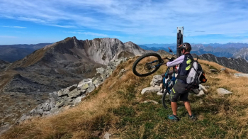
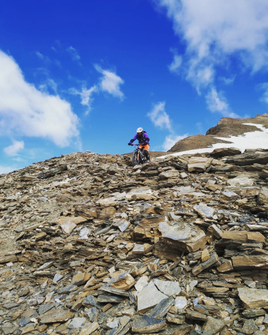
From Cima Terre Fredde, a fun descent begins—one where you never have to dismount—heading toward Cima Galliner. Next, you’ll tackle the long traverse toward Monte Laione: the terrain is constantly undulating, and there are no rideable sections; you’ll start with short descents, then push and carry your bike on your shoulder for the entire traverse. Reaching the summit of Monte Laione is very strenuous, especially after the effort of the traverse, but the Madonnina del Laione invites you to touch the sky with your finger. From the summit, the first 50 meters or so of descent are not rideable; you descend with your bike on your shoulder.
Then you ride in sections all the way to Passo del Blumone. From here, once you reach Adamello Trail No. 1, there are still a few sections where you’ll have to walk with your bike because the rocks are so large and scattered that it’s impossible to stay in the saddle—but this doesn’t last long, and a spectacular, very fun descent begins all the way to Lago della Vacca. The trail has some exposed sections: it’s best not to fall.
From the lake, take Trail 417 toward Piana del Gaver. The first half offers a very beautiful and fun descent; afterward, the trail surface becomes too eroded, uneven, and difficult to navigate, making it necessary to tackle some sections with the bike on your side. The final two kilometers are covered on a nice forest road, which leads back without further difficulty to Piana del Gaver and the starting point.
Considerations
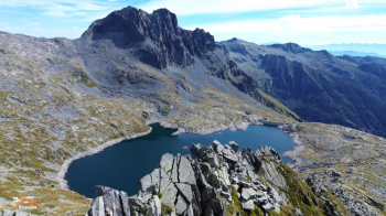
This ride is short only on paper. Don’t be fooled by the 24 kilometers and 1,500 meters of elevation gain: the long stretch where you have to carry your bike, the rocky terrain, the lack of a trail above Lago della Vacca, the undulating traverse toward Laione, and some exposed sections make it much more challenging than the distance and elevation gain suggest. In return for the effort, the route offers a magnificent, wild, and secluded setting, stunning views of Lago della Vacca, and descents that provide genuine fun. A demanding and well-rounded route, intended for experienced mountain bikers.