Italiano
 Deutsch
Monte del Gelo
For this exciting mountain biking outing, we set off from the Blumon Break parking lot in the Gaver Bagolino plain and head toward the cross-country ski trail/Locanda Gaver for the first 2 km, which are flat. Then the paved road ends, and to the left after the bridge, a steep climb begins up to Casinello del Blumone at 2,100 meters; we’ve climbed 600 meters in elevation with few spots to catch our breath and plenty of sections where we have to push hard. Shortly after the Casinello, the trail turns right, crosses the Caffaro River, and takes Trail 635 toward the Serosine Pass and the Gelo Pass. After climbing less than 100 meters, we leave it and continue straight uphill on Trail 635b, which takes us to Passo del Gelo with short stretches of pedaling and more sections where we have to push our bikes. It’s a beautiful spot with stunning views and the legendary Tomb of the Unknown Soldier.
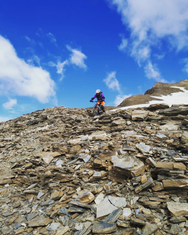
Now, finally, there’s no more pushing—it’s time to carry the bike. You’ll do this for 200 meters of elevation gain until you reach the junction with Trail 635c, which continues toward Serosine Pass. Here, if we want, we can leave our bikes; there are rideable downhill sections (I’ve ridden them), but the push—which eventually ends in a narrow gully—means it’s not worth it. So, after a 10–15-minute walk, we reach the magnificent, panoramic summit with nothing to obstruct our view. We descend from the summit, hop back on our bikes, and begin the long high-altitude traverse along Trail 635c, which takes us to Serosine Pass. It’s a military trail that’s only partially clearly marked, but it’s so intuitive that even without looking at my GPS, I followed the exact route I’d planned. It’s about 2 km with climbs of just a few meters where you have to push the bike, and it’s a ton of fun all the way to the legendary military citadel at Serosine Pass. It’s such an evocative place that I was actually a bit intimidated by the prospect of arriving there. You can admire the well-preserved military structures and then head down to Casinello del Blumone without ever setting foot on the ground—it’s a blast, with endless granite boulders that are never too steep and can be hopped over without hesitation.
Once you reach the Casinello del Blumone, you descend along the same route you took on the way up, but it’s so much fun that you don’t regret the effort you put in on the way up at all. Even these 600 meters of descent to the Gaver plain and then to the car are 100% rideable. This trip is ideal for fans of “unconventional mountain biking,” where you’re sure to find no crowds, just peace, silence, a good workout, and a well-deserved reward. A truly fun ride.
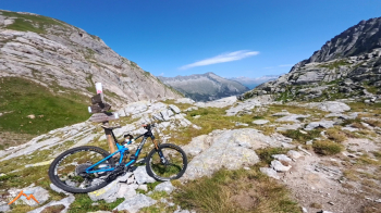
Gelo Pass
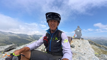
Summit of Monte del Gelo
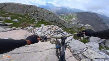
Traverse toward Serosine Pass
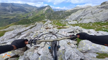
From Serosine Pass to Casinello del BlumoneFrom Casinello
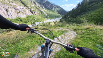
From Casinello del Blumone to Piana del Gaver