Italiano
 Deutsch
Cortina Bike Park - Alleghe
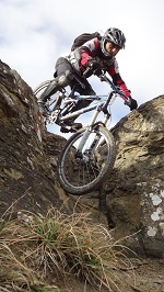
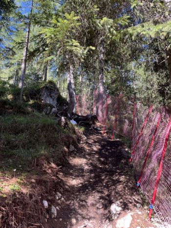
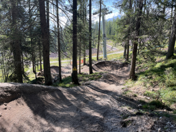
A beautiful ride from Cortina to Alleghe, featuring a few enjoyable—yet challenging—runs on the trails of the Cortina Bike Park, tackled on e-bikes. The route starts at an elevation of 1,840 meters, along the road that climbs from the SP48 (Cortina-Falzarego) toward the Dibona Mountain Hut. You then take the forest road that descends toward the Piè Tofane Mountain Hut, and then continue on the forest road that climbs to the Col Drusciè Mountain Hut, the starting point for the trails of the Cortina Bike Park. As my first choice, I take the Drusciè trail, rated as intermediate. It’s a very well-designed and decidedly challenging trail, featuring steep sections, jumps, steps, and spectacular parabolic curves. A succession of technical and fun sections makes for a real adrenaline rush. It’s an artificial trail, but with numerous sections that feel very natural, featuring S3 difficulty levels and some S4 sections.
Once you reach Cortina, follow the road toward the hamlet of Ciadin, where a beautiful forest trail (CAI 417) begins; it stays at a high elevation and leads toward Fiames. Once you reach the campground, turn left and begin climbing toward Lake Ghedina, with a climb that starts off gradually. Before reaching the lake, turn right and continue along the forest trail toward the Piè Tofane Mountain Hut, where the slope becomes a bit steeper. The final stretch levels out, and before reaching the refuge, turn left to climb once again toward Col Drusciè. It’s time for a second descent on the ski trails: this time, I follow the signs for Lucifer. It starts with a steep drop, followed by downhill jumps that are anything but easy. More steep sections and jumps—some even acrobatic but avoidable—while in several places the trail intersects or runs parallel to the Drusciè. Lucifer is, however, a challenging trail, classified as S3. The final stretch is shared with the Drusciè trail.
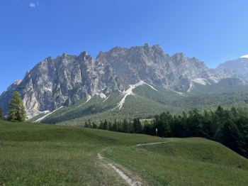
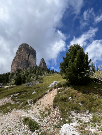
Back in Cortina, this time I follow the road toward the hamlet of Mortisa and, from there, the beautiful forest road that climbs toward Lake Aial. The first section is gradual, then a few steep sections appear. Before reaching the lake, take the forest road on the right, which climbs more steeply toward the Peziè de Parù Bridge. Here there is a short, very steep section—about 20 meters—that you’ll need to push your bike up. After a short paved stretch, take the forest road on the right again (CAI 424). The start is smooth, but in the final section the road turns into a single track, and there are a few dozen meters that must be pushed. You then emerge onto the paved road with limited traffic that leads to the 5 Torri. The climb features sections with moderate-to-steep gradients and is quite long: it’s best to tackle it at a steady pace, pacing yourself carefully.
Once you reach the 5 Torri Refuge, the climb becomes decidedly challenging on CAI 439: the unpaved surface and steep gradient require substantial motor assistance. After passing the crest near the Scoiattoli Refuge, the toughest part remains: the climb to the Averau Refuge. Dirt roads, loose gravel, and very demanding steep sections put your legs and battery to the test, but once you reach the refuge, the effort is amply rewarded by a unique and spectacular 360° panorama. From here, the descent finally begins (1,500 meters of descent!) toward the Agordina Valley.
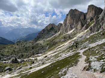
After a short stretch of trail, take CAI Trail 431 to the right—a beautiful single track on rocky, loose terrain that descends alongside the Averau massif, with a slight exposure on the left. The trail is generally smooth and fast, with a few sections over small rocks and steps toward the end, before reaching the Fedare mountain pastures. A beautiful stretch of single track along the ridge follows, then take the trail marker on the right to begin the loop around Monte Pore. The descent is smooth, over grass and dirt, with a few more technical sections on loose rocks and some boulders: watch out for flat tires. Then comes a spectacular flow section through the Livinè forest, alternating between forest roads and more technical sections, until you reach the Via della Vena.
Continue along the forest road to Colcuc, tackling a couple of steep climbs before cresting the hill above Colle Santa Lucia. From here, continue along forest roads and narrow paths until you reach Colle, then take more narrow paths and old trails that lead downhill to Caprile. In Caprile, you finally take the bike path and the forest road along the Cordevole River, following the river’s course all the way to Alleghe, the finish point of this splendid Dolomite traverse, rich in climbs, descents, technical trails, and truly spectacular views.