Italiano
 Deutsch
Giro delle Pale di S.Martino senza impianti
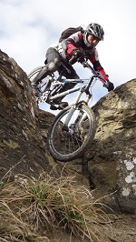
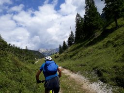
The classic Giro delle Pale di San Martino route, AlpinBike style: no ski lifts, just e-bikes and your own two legs. The route starts in Canale d’Agordo, from where you ride up the forest road with a steady gradient to Falcade. Here, take the road that runs alongside the ski slopes, and the gradient increases significantly. Once you reach 1,680 meters, keep to the left and continue on the forest road heading toward Passo Valles: an initial smooth stretch gives way to a series of challenging climbs, followed by the final ascent through the alpine pastures, on a dirt and grass surface made more difficult by deep cattle tracks. From the pass, follow CAI Trail 749 toward Forcella Valles. The start requires pushing your bike, then the trail becomes fairly rideable on singletrack, before the final switchbacks, which must again be tackled on foot. The descent is immediately technical: singletrack with ruts in the dirt, rocky steps, and sections of dirt. At a fork, turn left onto an old military road, characterized by constant ups and downs and a mixed surface of rocks and grass, until you reach a CAI trail that rejoins the 749, on a technical section where choosing the best line is essential.
Once back on the 749 in the final section, you’ll tackle passages over small rocks, flow sections, and a few stretches with loose stones. You then climb back up Val Venegia along a beautiful forest road, which is always easy to ride and has a very steady gradient. From Baita Segantini, a technical trail over dirt and small rocks leads to Passo Rolle. After a short stretch on the old road, from Malga Fosse di Sopra you take the bike path to San Martino di Castrozza, which is smooth and well-designed with wide switchbacks. Toward the end, you can choose a more technical alternative route to Prà delle Nasse, taking care to observe the no-bicycle signs. After passing through the village, from the Rosetta chairlift, follow a beautiful forest road that, after a short descent, begins to climb again at a moderate gradient and then becomes a trail, which remains rideable at least up to an elevation of 1,700 meters.
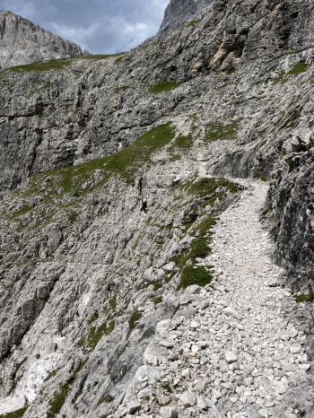
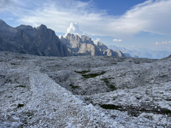
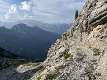
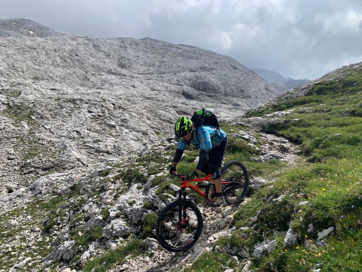
From here, a series of very tight, closely spaced hairpin turns begins: the gradient remains moderate, but rideability drops below 5% all the way to the tunnel. From 1,900 meters, it improves slightly, though it remains below 30–40%. At an elevation of 2,200, you reach the Col delle Fede pass, amid spectacular views and a few sections that are finally quite rideable. The final segment, however, becomes challenging again, with steep steps and tight hairpin turns that demand attention and technical skill. Once you reach the plateau of the Rosetta Refuge, the last few meters are rideable, and the crossing of the Pale Plateau begins—one of the most spectacular stretches of the entire route. The route follows the old military road through descents, short climbs, exposed sections, loose gravel, and boulders: a decidedly technical trail.
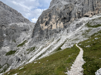
After skirting (along a ledge carved into the rock) an extraordinary natural amphitheater, you reach the forest road that descends to Forcella Cesurette, now reduced to a smooth single track but interrupted by several landslides that were cleared in 2026. From the pass, take the CAI 756, a magnificent single track that is very technical in the upper section, with steps and tight switchbacks; further down, the trail gradually becomes more flowy, while still featuring continuous technical sections all the way to Gares. From here, all that remains is to follow the quiet forest road downhill back to Canale d’Agordo, completing a long, challenging loop of extraordinary scenic beauty.