Italiano
 Deutsch
Civettaronda trail

The route starts in Agordo (several free parking lots are available at the entrance to town). The first 19 km leading up to Alleghe are easy and smooth, following bike paths and secondary roads as far away from traffic as possible, with one important note: the detour along the Cordevole River from the village of Cencenighe is currently blocked due to a small landslide; however, the route is—for a mountain bike or gravel bike—in excellent condition and fully rideable, allowing you to avoid the busy Regional Road 203.
In Alleghe, the first real climb toward Piani di Pezzè begins, on a moderately steep paved road (5 km x 500 meters). From the ski lifts (elevation 1,480 meters), whereas previous versions of the Civettaronda route suggested taking the arduous climb to the right (with steep gradients that test your balance) here you immediately keep to the left, climbing much more easily along a winding forest road, where only the final section features a couple of much steeper inclines. At the next fork, keep right to tackle a beautiful trail through the woods (small sign at the entrance), slightly uphill, among roots and short sprints.
You’ll then reach Forcella d’Alleghe (1,820 meters), where you can stop for water at the fountain at Malga Pioda, followed by a short descent on gravel before continuing onto the steep but fast-flowing Wild Trail—a bike-park-style descent through the woods. The next climb is tackled on the forest service road serving the ski slopes, with sections that are quite steep but rideable while sitting on the saddle, passing near Col dei Crep (exceptional view of Pelmo!) and the Su’n Paradis mountain hut (Note: found, in early August 2026, to be closed due to construction in the adjacent areas). Upon reaching the GPM at 1,850 meters, you’ll tackle a descent that starts on cobblestones and then continues on steeply descending asphalt, down to an elevation of 1,250 meters, where you’ll begin the climb up to Passo Duran.
The climb is steady and moderately steep (8–9%) until, with the pass now in sight, you turn right, following the signs for the Carestiato Mountain Hut. This second section of the climb, with a surface of rocks and gravel, has a very steep gradient, especially in the first kilometer; after that, it becomes more manageable thanks to some flat sections (and a water fountain). Reaching the refuge at 1,830 meters marks the end of the uphill struggle—but only to begin the descent.
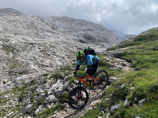
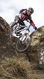
In fact, following this route by iron.mike83 to the letter, the trail that starts in front of the refuge is very technical, with roots, steep sections, boulders, and narrow passages; in short, a high-mountain trail that requires the utmost caution. With decent technique and a bit of courage, about 70% of it can be tackled while riding; not recommended for beginners (it could prove to be a real ordeal) and best avoided after rain (lots of roots and rocks).
You quickly lose elevation down to 1,320 meters, where the route now alternates between dirt roads and other trails, all of which remain somewhat technical. The fun—which began at the mountain hut at 1,830 meters—ends over 1,000 meters lower, where, at an elevation of 760 meters, you approach the town of Agordo and thus the end of this reimagined CivettaRonda.