Italiano
 Deutsch
Diemtigtal, attorno al Wiriehorn

A beautiful ride through two idyllic valleys in the Bernese Oberland, starting at the Wiriehorn Bike Park. Follow the paved road downhill for a few kilometers until you reach Horboden, where you turn right, changing valleys and beginning the climb. The paved road has very little traffic and runs alongside the stream before turning right and beginning the climb through several beautiful alpine pastures.
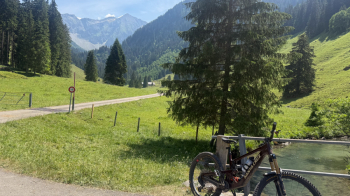
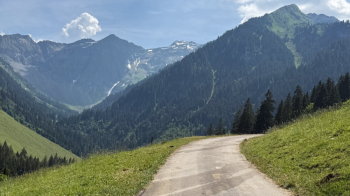
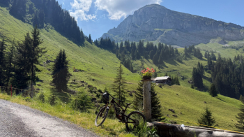
The higher you climb, the more fountains you’ll find—a necessity since the climb is entirely in the sun. At a certain point, the gradient steepens, remaining between 15 and 20% for a good stretch.
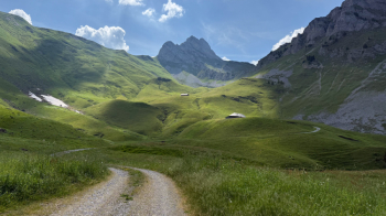
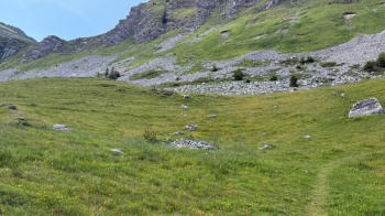
This brings you to Metterberg, where you’ll need to push your bike for about half an hour until you reach the pass. Only the last 20 meters before the summit may require you to carry your bike on your shoulders. After a short flat stretch, you begin the descent toward the valley where you started.
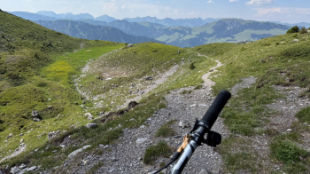
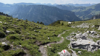
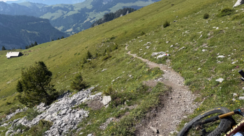
At the Wirie mountain hut, we turn left onto the real highlight of the ride: a trail perfect for riding, with a consistent S2 difficulty level and a few sections where you’ll need to get back on the bike, all through the woods on soft ground with rocks embedded in the soil. A real treat for any self-respecting mountain biker.
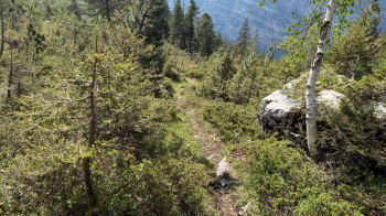
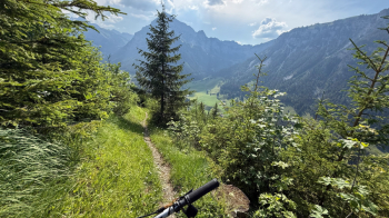
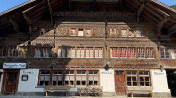
We reach a dirt road, which we cross, and continue on the trail, the first 20 meters of which are not rideable. Then it returns to its previous state, emerging onto a steep, gravelly trail that takes us down into the valley near Schlatti. Here we follow the paved road along the valley floor, enjoying the fantastic view of this place. This all-wooden Gasthof is also beautiful:
At a left-hand hairpin turn, we take the dirt road to the right, which climbs slightly. We follow it to stay at a higher elevation and thus connect to one of the bike park trails to return to the starting point.