

 Italiano
 Deutsch
2026/03/18 11:16:36
Monte Cucal per Ebiker esperti
Author
Place
Italy - Trentino-Alto Adige/Südtirol, TN
Km
27,60 km
Elapsed time
04:55:30
Vertical meters
+1 400 mt (950 - 1700)
Route difficulty
Landscapes
Last update
2026/03/18 11:58:28
Comments
Description
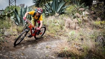
A tour through the lower Fiemme Valley on an e-bike that will take us to the panoramic summit of Mount Cucal, before heading down to the base of Mount Cornon and into the woods of Penza. This tour is exclusively for experienced e-bike riders who enjoy technical riding both uphill and downhill. On the ascent, there are sections of trail with very tight turns that require excellent balance and a basic level of trial riding skill (alternatively, you can ride up on the paved road from Varena and then follow the official CAI 503A trail).
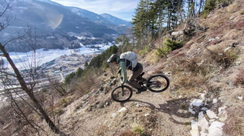
The various descents (natural trails) are mostly smooth, but some sections feature technical passages requiring an S4 skill level.
Local weather
Di 00:00

8 °C
Di 12:00

12 °C
Mi 00:00

11 °C
Mi 12:00
13 °C
Do 00:00

9 °C
Do 12:00
9 °C


Graph
Nearest Routes

34,48 km
Km
+1 457 mt
Vertical meters
Route difficulty
Landscapes
21,06 km
Km
+530 mt
Vertical meters
Route difficulty
Landscapes

47,89 km
Km
+2 166 mt
Vertical meters
Route difficulty
Landscapes
21,25 km
Km
+1 150 mt
Vertical meters
Route difficulty
Landscapes

38,74 km
Km
+1 130 mt
Vertical meters
Route difficulty
Landscapes
54,74 km
Km
+1 113 mt
Vertical meters
Route difficulty
Landscapes
21,93 km
Km
+1 002 mt
Vertical meters
Route difficulty
Landscapes
35,36 km
Km
+1 065 mt
Vertical meters
Route difficulty
Landscapes
58,20 km
Km
+3 100 mt
Vertical meters
Route difficulty
Landscapes

26,36 km
Km
+1 245 mt
Vertical meters
Route difficulty
Landscapes