HOME RANKINGS CHALLENGES ROUTES NEAR ME PLANNING SEARCH LOGIN
Italy - Piemonte, TO
2022/10/17 20:53:46

Monastero di Lanzo - Colle della Forchetta - trail 332

7 Downloads
1
 
Share
Author
gmzolenart
(115)
Place
Italy - Piemonte, TO
Km
24,90 km
Elapsed time
05:29:16
Vertical meters
+1 033 mt (814 - 1648)
Route difficulty
Landscapes
Last update
2022/10/17 20:56:04
Comments
0
Description

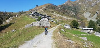
Started from Monastero di Lanzo and by mostly asphalt climbed to S. Grato, Marsaglia, Rifugio Salvin (in fall open Friday, Saturday and Sunday), 770 meters elevation gain in 10 km. Then dirt traverse eat and drink to Colle della Forchetta 1666 m. the highest point of the trail.

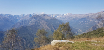
We enjoy splendid views of among others: Uia di Bessanese, Mondrone, Ciamarella a little snow-covered, Levanna Orientale and Monte Morion.

The signs are for trail 332 and Baita S.Giacomo 1404 m at 30 minutes and Chiaves 1043 m at 1h 30.

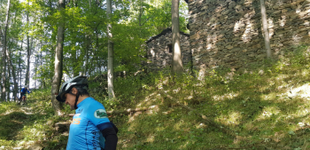
They are widening the dirt road, so we opt for the uphill trail which we then descend again to Colle S.Giacomo 1450 m. There are two forks between Colle San Giacomo and Baita San Giacomo: at the first one we descend on the wider path, at the second one we take the narrower path to the left. Then from Colle San Giacomo continue for a stretch to the right on a dirt road and, first fork, follow the path slightly downhill (uphill 332 b skirts M. Ciucrin and then rejoins 332). Arriving almost near Baita S.Giacomo di Moia, second fork, we turn left into the woods still on trail 332 that with single track and short trialist sections rejoins the dirt road and, left, on asphalt to Passo della Croce.

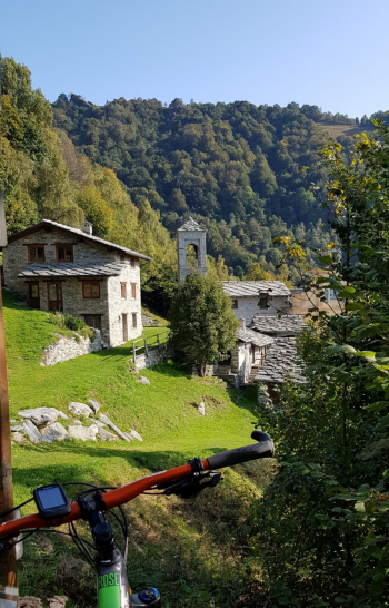
Then by asphalt back to Sistina and Monastero.

IGC No. 110 Lanzo, Viù, Chialamberto, Locana, Ciriè, Valli di Lanzo Trail map (1:25,000)

Download our free mobile app to send this route to your Garmin device or to navigate it on OSM maps. Android - iOS
Local weather
Today
9 °C
Tonight
2 °C
Tomorrow
12 °C
Tomorrow night
4 °C
Saturday
14 °C
Saturday night
4 °C
Sunday
14 °C
Sunday night
4 °C
Monday
11 °C
Monday night
2 °C

Graph

Nearest Routes

11,93 km
Km
+570 mt
Vertical meters
Route difficulty
Landscapes
13,39 km
Km
+662 mt
Vertical meters
Route difficulty
Landscapes
2022/09/30
- Italy - Piemonte, TO
gmzolenart
(115)
24,67 km
Km
+1 004 mt
Vertical meters
Route difficulty
Landscapes
22,36 km
Km
+669 mt
Vertical meters
Route difficulty
Landscapes
24,05 km
Km
+802 mt
Vertical meters
Route difficulty
Landscapes
2022/10/28
- Italy - Piemonte, TO
gmzolenart
(115)
29,74 km
Km
+1 357 mt
Vertical meters
Route difficulty
Landscapes
19,46 km
Km
+848 mt
Vertical meters
Route difficulty
Landscapes
2022/10/22
- Italy - Piemonte, TO
gmzolenart
(115)
14,82 km
Km
+618 mt
Vertical meters
Route difficulty
Landscapes
2022/11/19
- Italy - Piemonte, TO
gmzolenart
(115)
14,22 km
Km
+871 mt
Vertical meters
Route difficulty
Landscapes
14,66 km
Km
+711 mt
Vertical meters
Route difficulty
Landscapes

0 Comments