Italiano
 Deutsch
M. Turu - Valle di Viù

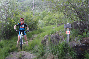
Starting from Lanzo, after Germagnano go up on asphalt on Provincial Road 32 towards Viù and in the hamlet of Colbeltramo face left the asphalt climb again towards Castagnole. The beginning of the dirt road is marked by clear signs: route 101 B leads in 0.40 to the hamlet Moujetta and in 1.45 to Passo della Croce.
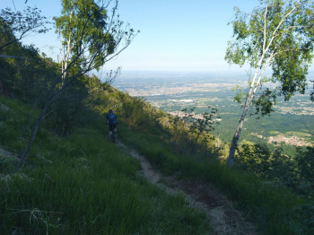
With partner Elena we tackle the steep climb that quickly gains us altitude, about 700 m. elevation gain in 5 km. In the interlude of this wide, compact and steep dirt road we cross the hamlet Moujetta with its ancient ovens and Pian della Coppa, one of the few false-flat sections at an altitude of 855 m. M.Turu 1355 m. that divides the Viù Valley from the Ceronda Valley is marked by a monumental fenced pylon-repeater and a mound of stones from which in a southeasterly direction the view opens up to the Serra d?Ivrea and the hill of Turin.
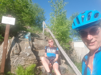
We regroup in descent trim, time is running out, we cannot linger. Reaching the sign for Passo della Croce in a few meters we reach it, ritual photos, and here are young and fit runners peeking out from the Val Ceronda side who assure us that the path is cyclable until we reach Vallo in half an hour. In reality we take twice as long to descend on a trialistic path with large stones with no interludes of firm bottom.
Finally reaching the dirt road with sign indicating Passo della Croce uphill in 1.30 on trail 090, we quickly descend and then turn left, northeast, toward Monasterolo and the fireline back to Lanzo.
IGC No. 110 Lanzo, Viù, Chialamberto, Locana, Ciriè, Valli di Lanzo Trail map (1:25,000)