Italiano
 Deutsch
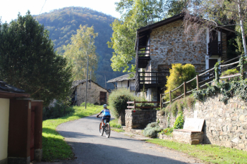
Upper Malone Valley - Blackbird Pylon - trail 419 - with the Boars

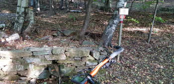
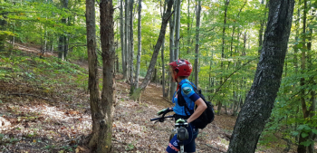
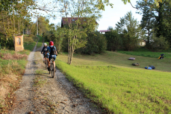
Ascent on asphalt for about 10 km and 500 meters of elevation gain, passing through the hamlets of Plassa-Togliatti, Tetti, Curdè, Castiglione, Case piat, Vietti, Saccona. Starts a long stretch on dirt road, pass Vernai di Coassolo, Rio Saccona, overlook the hamlet of Olla (see route 59), climb a short stretch to the Curnaa fountain, and then a steep and impassable section to Pilone del Merlo.
The Pylon of the Blackbird also known as the Pylon of the Frasche is atypical compared to other pylons: it is not on communication routes between villages and mountain pastures or on cattle transhumance routes; it does not turn out to be a place of religious devotion; it has a base of 2 meters by 2 meters and a height of more than 4 meters (usually 0.70 meters by 0.70 and 2.50 meters high). It is supposed to have been erected as a trigonometric signal for field processing of topographic maps similarly to the pylon built at the same time, about 1822/23, by commission of Piedmontese and Austrian officers on the summit of Rocciamelone.
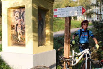
Descent: trail 419 is for the first part back on the outward route to continue left on wide dirt road to Borgata Cà di Savant, Cà Tampa and then with asphalt cuts to Lanzo.
Map No. 6 of Alto Canavese, Lanzo T.se Corio Forno C.se - MU Editions. (1:20.000)