
 Italiano
 Deutsch
Rifugio Genova
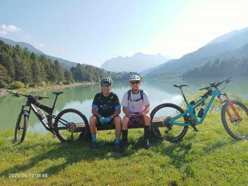
A ride that in a few kilometers gives a concentrate of All Mountain practice. The start is from Miscì just above Longiarù in Val Badia, we pedal for 5.2 kilometers on comfortable dirt road that with regular gradient brings us to Utia Ciampcios (WP02) where we can make water and admire a spectacular panorama.
We continue to climb but now the gradients become steeper and the ground slightly rougher. Some pushing parts will have to be budgeted for. We thus reach after another 1.7 km Malga Medalges. It deserves a short digression of 300 meters to reach Forcella Munt de Furcia at 2293m (WP04) for a spectacular view of Val di Funes and the Odle.
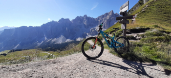
We retrace our steps and, having reached the hut, we will have to load the bike on our shoulders (WP05) to climb a rocky section of about 100 meters of elevation gain in 700m, it will take us 15/20 minutes after which we can climb back on the bike (WP06) and reach the maximum altitude of this tour at 2414m (WP07).
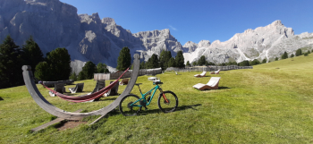
We put on our protective gear and start to descend. The first 200 meters are exposed and absolutely to be traveled with caution and bike by the side, past this treacherous rock drop we can climb back up by bike (WP08) and reach Rifugio Genova (WP09).
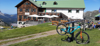
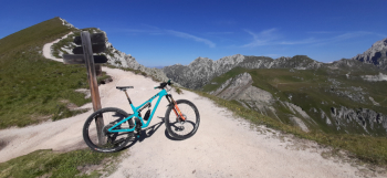
Having taken a break, we go back up to Passo Poma (WP10) to take path 4 (WP11), which begins to descend through the meadows giving us always wonderful views. When we come near a small wooden house at 2180m we bend to the right, still on trail 4, which now begins to descend more steeply entering the woods. The trail is quite challenging due to the presence of numerous natural steps combined with a sustained slope. Having passed the first section we will find an intermediate part that will rest our arms and brakes. A new segment similar to the previous one will take us near a stream where the trail becomes a forestry however steep. We quickly descend on the dirt road until we meet the first of the Mills in the valley of the same name (WP12), turn right and follow the path that skirts all the others until we return to Miscì after 15 km or so from where this adventure began.


