Italiano
 Deutsch
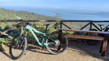
Monte Argentario

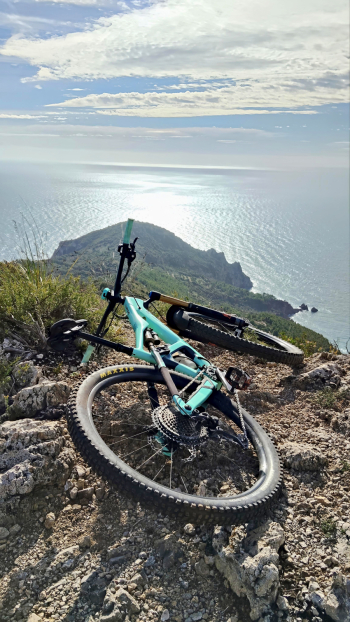
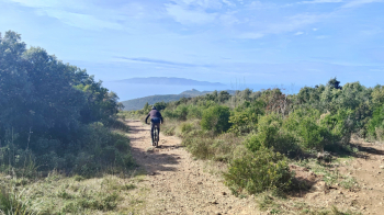
The tour starts from the Convent of the Passionist Friars, in a panoramic setting overlooking the Argentario promontory. After a short warm-up section, we face about 300 meters of elevation gain uphill, on regular, dirt slopes, until we reach the entry point of the first descent. The Crevaccio is a spectacular and scenic trail, laid out entirely on live rock and slippery terrain. It is a descent that requires attention and good riding technique: grip is limited, but the view of the sea repays any effort. The environment is dry and open, typical of the western side of Argentario.
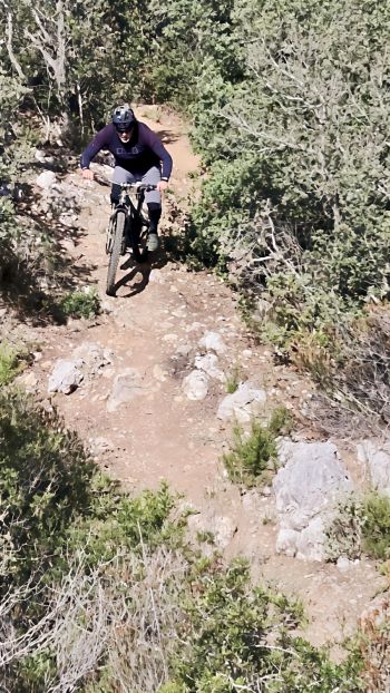
Once the descent is over, you pick up altitude along a single track usually tackled downhill, but surprisingly rideable uphill as well. This is a fun section immersed in Mediterranean scrub, which gently leads back to the main dirt road. From the dirt road we take the second downhill combination, formed by the Raschio and Tramonto trails. This is a purely downhill section, with banks, jumps and molded curves-a true natural playground for those who enjoy aggressive riding. In hindsight, the Madonnina variant would also have been interesting, an alternate trail nestled in the woods that is smoother and more guided, ideal for a smoother, more technical pace.
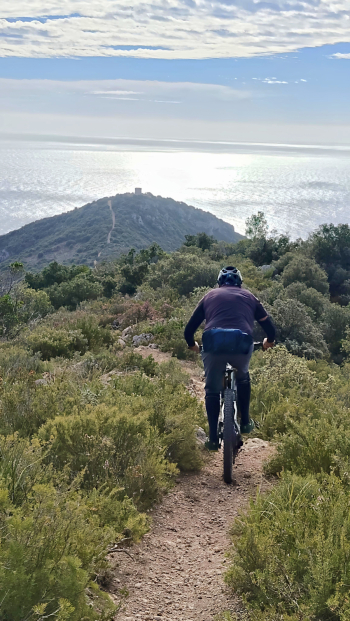
After a further ascent of about 200 meters of elevation gain, we prepare for the grand finale. The final descent combines several segments: Saggio, Crocicchio Raul and Labbrata. The latter is a truly characteristic section, carved out along the bed of a now-dry creek: technical passages, natural steps and tight turns make it one of the most intense and enjoyable parts of the entire ride. Once past Labbrata, about 180 meters of elevation gain remain to be tackled to return to the convent, thus closing a complete and varied loop that alternates regular climbs, technical descents and breathtaking views of the sea of the^Argentario.
A complete and rewarding route, ideal for experienced riders or those with good technique, who love variety: rocks, single track, wooded sections and natural lines