Alta Val Malone - Pilone del merlo - sentiero 414 e 420 - con i Boars
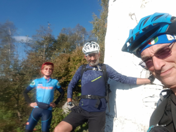
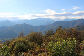
Midweek ride with boars association. Ascent on asphalt for about 10 km and 500 meters of elevation gain, passing through the hamlets of Plassa-Togliatti, Tetti, Curdè, Castiglione, Case piat, Vietti, San Grato (water stop). We continue on asphalt passing Cà di Savant and Upper Olla. Steep dirt road begins with signposted Pilone del Merlo, which we reach with a short push-over (another water stop at fontana curnà). Pilone del merlo is a vantage point over the natural and artistic beauty of the area (boars on the links and rock, a curious combination).
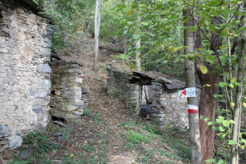
Descent: the beautiful path 414 in dense forest among abandoned houses on firm ground makes us cross the Banna stream , hamlet Goch and Garigliet with landing at Cudine. Cudine was the ancient border between Canavese and Valli di Lanzo and this path was the ancient market route of Lanzo fulcrum of these valleys in the Middle Ages when there was still no market in Corio.
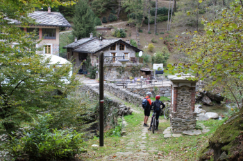
At this point Gigi proposes the Turcin and we enthusiastically follow him to the chase of path 420 in the hamlet of San Pietro. Adjusting the telescopic of the full Specialized is a must to fully enjoy the fixed pavement that leads us to the magnificent hamlet. The Turcin mill was the most strategic of the mills on the Tessuolo stream, a minor branch of the Tosso stream that flows between Monastero and Coassolo; the road across the bridge passed through the mill yard. Turcin is the nickname of the last owner, who passed away in the 1970s, Giacomo Bertetto of Corio, who was of mighty build. Next to the bridge is one of the oldest votive pillars, erected with stones and mud and edged with solid bricks. We continue on trail, then a stretch on asphalt, pick up the trail where it says 2.2 we skirt the Tessuolo stream and return to Lanzo on asphalt.
Map No. 6 of Alto Canavese, Lanzo T.se Corio Forno C.se - MU Editions. (1:20.000)


 Italiano
 Deutsch