Italiano
 Deutsch
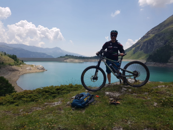
Lago di Cignana da Chantornè

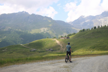
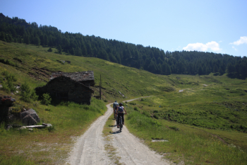
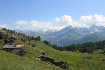
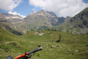
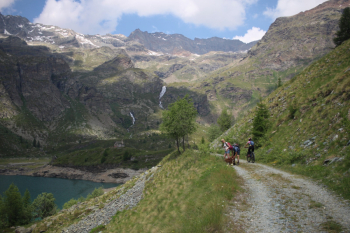
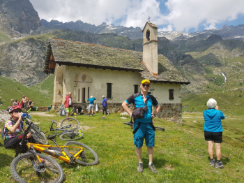
From the picnic area of Chantornè first stretch of asphalt to the dirt road that in winter is the cross-country track, Alpe Chavannes farm road with gentle slopes and sections in the woods, then Ru Torgnon track that in a little more than 3 km gains 250 meters of elevation gain. From here magnificent views of the Breithorn, Hump of Rollin to the head of the Furggen. Descent for about 200 meters elevation gain and ascent to the lake with some hard ramps, 1 1/2 km and 150 meters elevation gain. Through an opening in the gate cross the dam and continue to the little chapel, which is reached with a final short section of trail and 20 meters to walk. To the northwest and north of the lake rise peaks above 3,000 such as Dome du Tsan, Pointe de Tsignana, Pointe des Fontanelles and Chateau des Dames. Short stop at Refuge Jean Barmasse, cut into the descent farm track to upper Cortinaz, ascent to Gilliarey with 200 meters in about 2 1/2 km, finally to Alpe Tellinod nice variant to Alpe Palud and Chateau. From the Champtornè basin down the lifts and asphalt to the starting point.
The itinerary does not present technical difficulties on wide and mostly not very bumpy dirt roads, however, it is characterized by numerous ups and downs both on the outward and the return. In the end the total elevation gain is about 950 meters over almost 40 km. Water point there is only at the start, the fountains on the route are all inactive, at the Refuge the water bottle costs 1.5 Euro while running water in a bottle 1 Euro. We were 4 mtb and 2 gravel.
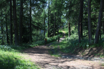
Initial section in the woods - Alpe Chavannes
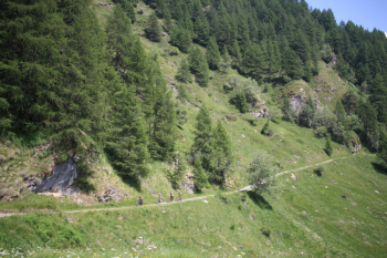
Ru Torgnon trail
Panorama from western Breithorn to Testa del Furggen, the snowy tongue behind the little chapel
Far left fork to Alpe Palud and Chateau