Italiano
 Deutsch
Monte Castelletti e Monte Fasce

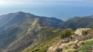
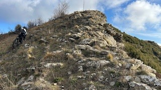
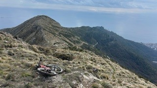
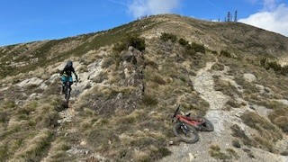
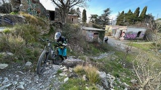
After the Monte Carmo and Beigua Park descents, today we aim for the Monte Fasce area. The first transfer of the day takes us from Genova Nervi to Bocchin di Pozzuolo where the DIRECT METEO STAZIONE METEO descent begins immediately with a very technical descent on steps to Cian da Cola (540 meters). From here starts a short but steep push climb to Monte Castelletti (604 meters) that could be avoided by taking the path to the right, but we like it that way, if there is a ridge you have to go there.
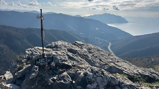
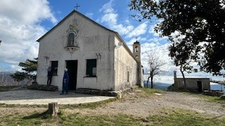
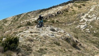
Having taken the ritual photos at the summit we set off on the very technical DIRECETTISSIMA MONTE CASTELLETTI descent, steep and all on rock, with an exposed S5 passage that we avoid, which is followed by DH SANTA CROCE that becomes a little less technical. Another short ascent to Monte Santa Croce (518 meters), where we admire the church of the same name jutting out like a terrace between sky and sea. Having visited the sacred place and taken the appropriate photos, we set off via a steep staircase from the church for the super panoramic SANTA CROCE DIRECTION with numerous obligatory nose press hairpin bends. Short ascent and another technical descent PONTETTO EXPRESS steep and challenging trail ending at Pontetto.
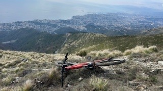
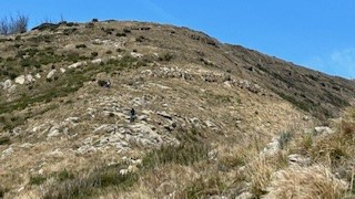
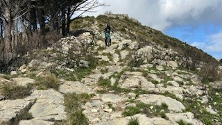
New Transfer from Pontetto to Piazzale Monte Fasce. From Piazzale Monte Fasce (740 meters) climb to the summit of Monte Fasce (832 meters) where the climb ends. TOPINIGI enduro descent in perfect condition to the Methane Pipeline or Pre dei Ferretti where we turn left to take the most scenic and technical descent in the area i.e. T ROVERSCIATA, 3.2 km of steep descent all on very rocky rock, a must in the area. The descent alternates between different lines in some places, but basically it is all a riot of fixed rock or loose rock to keep an eye on without being distracted by the superlative views of Genoa. We end the three-day trip ultra-satisfied and fulfilled with a promise to return to Liguria at the first opportunity.