Rifugio Graffer e rifugio Tuchet
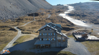
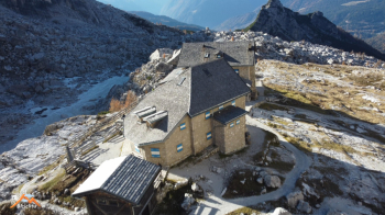
On this beautiful mountaineering-cycling hike we will not touch any peaks but visit two of the most popular western Brenta refuges in the summer, the Graffer and the Quintino Sella-Tuckett. We start from the former Brenta nursery now the beautiful Pra de la Casa Bed & breakfast below the village of S. Antonio di Mavignola. On beautiful forest road in 5km and 300 meters of elevation gain we are in Madonna di Campiglio. Having passed through the hamlet of Pinzolo we proceed on the comfortable though at times challenging forest road that preserves the refuges until our first destination, the Giorgio Graffer refuge. 12.5 km and 1100 meters of elevation gain from the start.
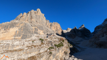
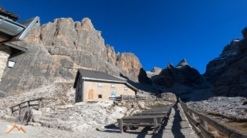
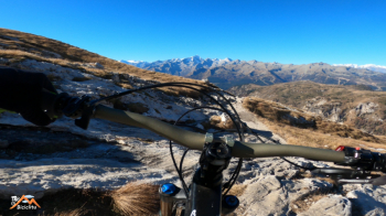
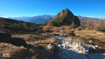
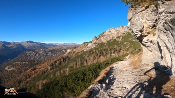
Now we take path 331 (a valid variant could be to go up to Stoppani and via 316 merge into the middle of 331), which with a long and not always cyclable path, but scenically very beautiful, grazing the base of the Torrione di Valesianella leads us to our second destination, the Tuckett refuge and its annex, the Quintino Sella. Now left, on 328, Fridolin trail, first with bike alongside then fun descent to the confluence with 318 to the refuge at Brentei.
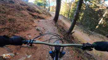
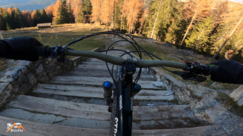
I rode a section of this trail uphill as in intention I wanted to reach the Brentei but then it was not possible. Wanting to, having reached 318, keep to the right instead of going up we continue to descend. Thus descending 318 we arrive with much, much fun at the Casinei refuge. From here on 317 to the Vallesinella locality, a segment this one tormented by steps and roots that make the descent tiring but all riding and extremely exciting.
Now a stretch of forestry until we take the Archduke's trail and down to the car again with lots of fun. As usual a trail in this environment is never all bikeable, there are push/shoulder uphill sections and after the Tuckett also downhill with bikes on the side but in the balance for fans of the genre, it is really worth it.


 Italiano
 Deutsch