

 Italiano
 Deutsch
2024/11/18 17:32:15
Dolomitenblick Laces
Author

Place
Italy - Trentino-Alto Adige/Südtirol, BZ
Km
67,38 km
Elapsed time
05:07:22
Vertical meters
+1 900 mt (296 - 1945)
Route difficulty
Landscapes
Last update
2024/11/18 17:39:45
Comments
Description
Dolomitenblick (view of the Dolomites) is a viewpoint located 1900 meters above the village of San Martino al Monte on Montesole in the Venosta Valley.
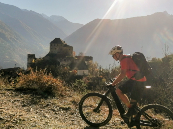
It is one of the very few points in the Vinschgau valley from which you can see the Dolomites, which are about 70 km away.
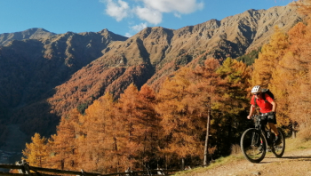
Very beautiful though very hard dirt climb, with views of Goldrano and Annaberg castles.
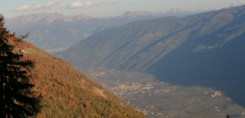
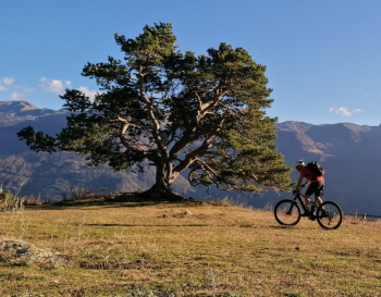
But the highlight of the tour is the very long, varied and very fun technical descent to the village of Ciardes, a spectacle even if only for experts! If you want to shorten the tour you can start from Laces.
Local weather
Tue 00:00

15 °C
Tue 12:00

17 °C
Wed 00:00

15 °C
Wed 12:00
14 °C
Thu 00:00

13 °C
Thu 12:00

15 °C

Graph
Nearest Routes
2025/11/21
- Italy - Trentino-Alto Adige/Südtirol, BZ 66,02 km
Km
+2 000 mt
Vertical meters
Route difficulty
Landscapes
36,78 km
Km
+1 610 mt
Vertical meters
Route difficulty
Landscapes
58,50 km
Km
+1 370 mt
Vertical meters
Route difficulty
Landscapes
85,71 km
Km
+2 730 mt
Vertical meters
Route difficulty
Landscapes
43,62 km
Km
+1 615 mt
Vertical meters
Route difficulty
Landscapes
64,32 km
Km
+2 400 mt
Vertical meters
Route difficulty
Landscapes
2023/03/04
- Italy - Trentino-Alto Adige/Südtirol, BZ 71,35 km
Km
+1 830 mt
Vertical meters
Route difficulty
Landscapes
52,87 km
Km
+1 754 mt
Vertical meters
Route difficulty
Landscapes
2023/03/04
- Italy - Trentino-Alto Adige/Südtirol, BZ 58,93 km
Km
+3 000 mt
Vertical meters
Route difficulty
Landscapes