HOME RANKINGS CHALLENGES ROUTES NEAR ME PLANNING SEARCH LOGIN
Italy - Trentino-Alto Adige/Südtirol, TN
2024/10/08 19:07:46

Rifugio Graffer

21 Downloads
1
 
Share
Author
miciolo
(40)
Place
Italy - Trentino-Alto Adige/Südtirol, TN
Km
36,80 km
Elapsed time
07:31:14
Vertical meters
+1 573 mt (825 - 2292)
Route difficulty
Landscapes
Last update
2024/10/08 20:07:08
Comments
0
Description

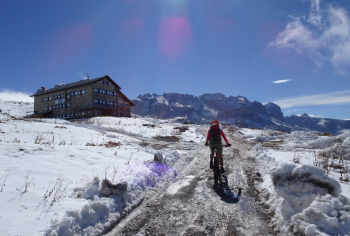
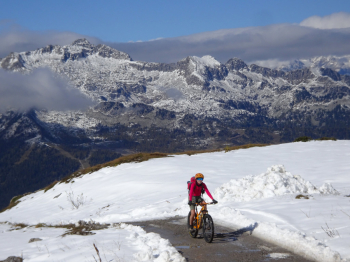
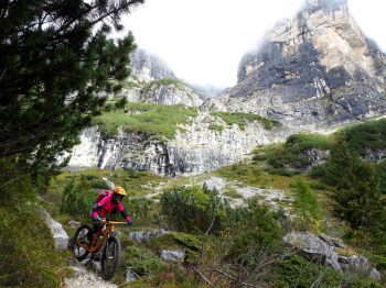
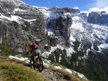
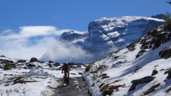
Hike in the presence of the Brenta Dolomites up to Rifugio Graffer at 2261 meters with one of the most beautiful descents you can do in Val Rendena.

WARNING: the descent that starts just below Rifugio Graffer IS FORBIDDEN TO MTBs (not to be done in July and August and on weekends where there is a greater influx of hikers).

The trail starts in Carisolo but I recommend parking in the large parking lot in front of the lifts in Pinzolo. Immediately you warm up on the secondary road forbidden to vehicular traffic until you reach Sant'Antonio di Mavignola. On trail and dirt road you will reach Madonna di Campiglio and then Campo Carlo Magno. Now begins the real climb on dirt road up to Rifugio Graffer, still 5.5 km to go for 600 meters of elevation gain with some very hard sections. When you arrive at the refuge (open all year round), you can refresh yourself and get ready for the long descent down to Vallesinella.

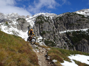
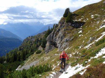
I'll say it again: there is a mtb ban sign at the beginning of the trail, it's the only one we saw and we don't know where the ban ends. The descent is fantastic, stunning views of the vertical walls of the Corna Rossa. We lose altitude until we reach the Vallesinella parking lot and arrive at the Cascate di Mezzo waterfalls, which are well worth a visit. Now we take theArchduke's trail, mostly flat and with many roots until we intersect the beautiful trail that descends, with some steep sections, to the Brenta Nursery. We skirt the creek and with stretches on dirt/trail with a few raises we return to Sant'Antonio di Mavignola. We descend to Pinzolo/Carisolo along the trail that cuts through the road taken on the way out (be careful there are a couple of technical points!) and we are at the cars.

More information can be found at the photoreport.


Download our free mobile app to send this route to your Garmin device or to navigate it on OSM maps. Android - iOS
Local weather
Today
5 °C
Tonight
0 °C
Tomorrow
7 °C
Tomorrow night
1 °C
Friday
8 °C
Friday night
3 °C
Saturday
7 °C
Saturday night
2 °C
Sunday
7 °C
Sunday night
1 °C

Graph

Nearest Routes

2023/04/14
- Italy - Trentino-Alto Adige/Südtirol, TN
miciolo
(40)
25,49 km
Km
+1 229 mt
Vertical meters
Route difficulty
Landscapes
2024/11/26
- Italy - Trentino-Alto Adige/Südtirol, TN
biciclitu
(17)
26,31 km
Km
+1 500 mt
Vertical meters
Route difficulty
Landscapes
2024/09/11
- Italy - Trentino-Alto Adige/Südtirol, TN
biciclitu
(17)
19,01 km
Km
+1 300 mt
Vertical meters
Route difficulty
Landscapes
2023/08/22
- Italy - Trentino-Alto Adige/Südtirol, TN
richin
(5)
35,77 km
Km
+2 400 mt
Vertical meters
Route difficulty
Landscapes
2023/10/19
- Italy - Trentino-Alto Adige/Südtirol, TN
biciclitu
(17)
18,82 km
Km
+1 200 mt
Vertical meters
Route difficulty
Landscapes
2023/04/13
- Italy - Trentino-Alto Adige/Südtirol, TN
miciolo
(40)
26,38 km
Km
+1 351 mt
Vertical meters
Route difficulty
Landscapes
2024/09/14
- Italy - Trentino-Alto Adige/Südtirol, TN
Staff
(84)
28,74 km
Km
+1 343 mt
Vertical meters
Route difficulty
Landscapes
2024/09/14
- Italy - Trentino-Alto Adige/Südtirol, TN
Staff
(84)
31,82 km
Km
+1 357 mt
Vertical meters
Route difficulty
Landscapes
2024/09/14
- Italy - Trentino-Alto Adige/Südtirol, TN
Staff
(84)
42,23 km
Km
+1 357 mt
Vertical meters
Route difficulty
Landscapes
2024/09/14
- Italy - Trentino-Alto Adige/Südtirol, TN
Staff
(84)
12,00 km
Km
+11 mt
Vertical meters
Route difficulty
Landscapes

0 Comments