Capanna Pian d'Alpe
Nice tour between Blenio valley and Leventina valley. We start from Biasca, or better, if you want free parking take the cantonal road from Biasca to the Lukmanier, exit at the first left towards Semione and park here. From Semione our 1400-meter climb begins on a small asphalt road with very little traffic. You pass several houses, with spectacular views of the valley. Never steep, it is very pleasant.
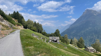
When we get to the second bar, the road becomes a little steeper and then becomes unpaved to take us to the last village, Püscett, where there are a million fountains waiting for you. From there to the Pian d'Alpe Hut it is about 200 meters of elevation gain, some of it rideable, some of it pushable. The pastures, when you come out of the woods, repay the effort made.
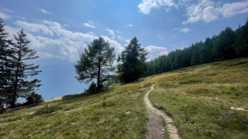
After a possible break at the hut, the descent to the Leventina valley begins. First flat, then steep, on a fantastic forest floor. Two curves are impassable, but the rest is all done if you have a good braking system.
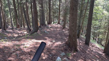
Don't worry, the steep gives way to an unexpected path because it has a gentle slope and is very easy. It looks like a military trail and connects several houses overlooking the valley.
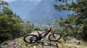
There are two small landslides that might require one to get off the saddle if one is not up to it, otherwise it is a truly unexpected enjoyment.
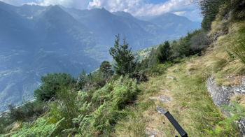
This brings one to Bidré where one follows a small road for a kilometer or so, then goes onto a dirt road and then climbs briefly to take the Strada Alta, that is, the historic Leventina road that stood above the valley. Don't sing victory too soon, because it soon turns into a rocky path with many hairpin bends to be made in nosepress.
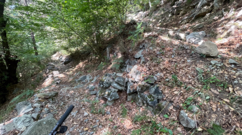
In some places the trail is bad and you have to push, but otherwise the most difficult passages are S3. Then the final staircase is a thing in itself....
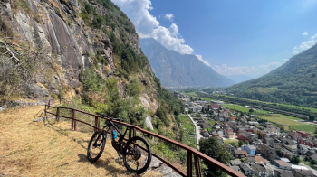
...as it cuts unceremoniously through the rock face.
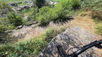
So you get to Pollegio, follow the bike path and return to the starting point.


 Italiano
 Deutsch