Val Pianella, Rifugio Benigni
Mountaineering cycle tour with a nice section with bike on shoulder, descent from Val Pianella that is not so flat!
Start from Ornica, a nice village in the valley often, convenient parking near the village and then on asphalt always with beautiful views up to the road that goes up to the plans of Avaro. Arrived at the plans in front of the "Ristorobie" there is a nice fountain in which it is convenient to load water (we will not find any more until the Benigni refuge). We leave the asphalt and now on concrete/beaten earth we continue up to an altitude of 1850 meters with some very challenging Mtb sections.
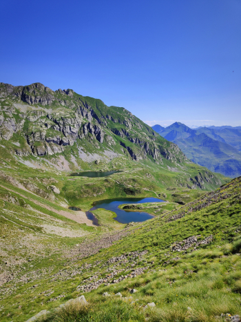
From here we push the bike up to the beautiful ponterantica lakes and then up to the Triomen pass (the summit can only be reached on foot). Alternatively, you can save 150 meters in pushing by diverting to the southwest trail that bypasses Triomen at 2050 meters. From the Triomen pass beautiful views of the small lakes and down the not too challenging and very gravelly descent
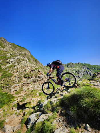
Continue to the Salmurano pass on a trail that is not very rideable, very pushy and exposed in places. The short descent to the pass is initially an S3 and then ends with a couple of S5 passes.
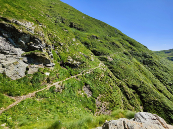
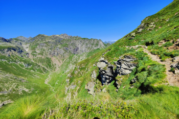
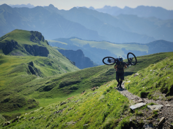
From the pass the path that remains at altitude is not very rideable, so it is worthwhile to descend 50 meters from a nice S3 and then return pedaling from an S1 to the west. Now a nice 80-meter gully with bike on the shoulder awaits us, it is not exposed and the rock is well firm but in a couple of passages we have to use our hands and it may not be too comfortable with the bike on the shoulder. Finished the gully we can continue or go up to the Benigni refuge with the last 120 meters on trail always with bike on shoulder/push.
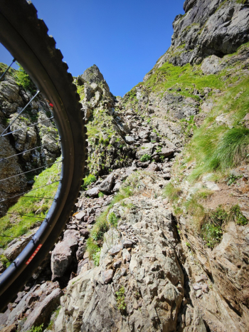
From the refuge following the trail we take the west trail with a first push section, non-pedalable middle section and some nice passages on partly exposed rock, alternatively I recommend to descend from the ascent trail that promises some nice passages and then ascend about 100 meters from an easier west trail. Continue with more short push sections passing below the Val Pianella vent from which the beautiful descent will begin in beautiful surroundings.
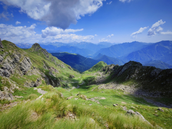
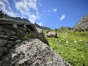
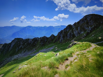
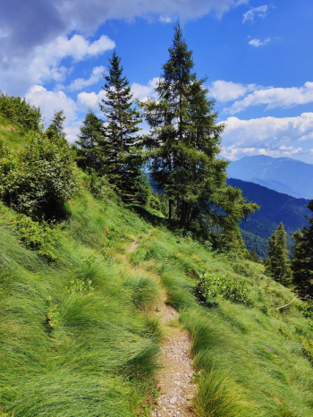
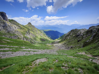
The first 250 meters are not the too exciting, very bumpy bottom, and several S3/S4 passages. Then the bottom improves a lot and the trail becomes technical at times with S4 passages and smooth at times. From the Val Pianella hut we cross some streams where it is possible to refill water, the trail continues on a midslope always with various technical S3 passages until the junction from which it is possible to connect with the beautiful descent of the Salmurano pass or continuing on the track take a beautiful path initially bumpy and technical that then becomes a spectacular superflow. Above Ornica there are various solutions to return to the car, the one in this proposal goes down the classic mule track, nice but nothing memorable. Also good variation to this tour is the one with descent to Val dell'inferno.
Trail style: AM
Personal rating: views 10/10; descents 9/10
Lots of pushing and bike carrying.
MTB: yes
EMTB: not recommended
Duration about 7h
Shoulder bike sections: a lot of pushing, and some sections also shoulder obligation.
Difficulty uphill: the pedalable one is almost all comfortable
Difficulty descent: mainly S3/S4, last 4-500 meters of elevation gain S2/S1
Exposed: some exposed sections, where just descend and do it by hand
Drainage: done after a day of rain we found everything dry
Water points: Piano dell'Avaro; Rifugio Benigni (paid), a few streams in Val pianella


 Italiano
 Deutsch