
 Italiano
 Deutsch
Rifugio Grassi dalla Val Biandino

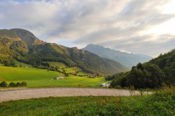
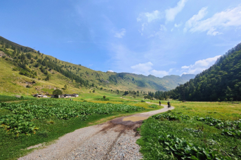
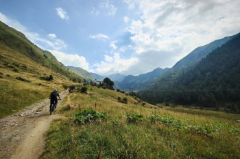
Ring of Rifugio Grassi going up from Val Biandino All pedaled for the first 2000 meters of elevation gain, pushing on the last 300. Start from Valtorta (water point), pedal on comfortable cemented road in excellent environment up to the Bobbio plains with very manageable gradients. Short but nice eat-and-drink traverse on nice flow trail to Gandazzo Pass.
Here begins the real descent that with 1000 meters of elevation gain over 5 km will take us to Introbio. Very nice, never boring with flow and challenging sections. We arrive at an altitude of 950 at Alpe Piantagianni. The proposed trail goes through a sometimes exposed eat-and-drink trail that didn't blow me away, but at the next fork at 930 meters it goes back to being the beautiful descent from before. Those who want to avoid the section knowthat there are also other variations of this descent.
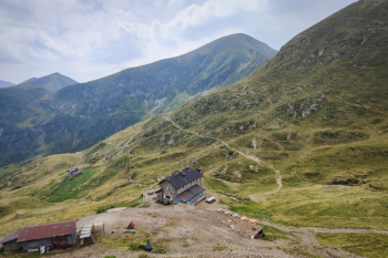
From Introbio (water point) you go up 130 meters on cobblestones rideable only by emtb (mtb I recommend going up from the carrale to the north). The road is a bit boring and continues for another 800 meters on cemented road with constant 15% gradient. Up to Rifugio Tavecchia (water point) where the beautiful valley opens before us.
We pedal to the Sasso Alp on comfortable carrale and then the pushing part of the ride begins. We start from a nonexistent path (probably taken away by a landslide) climbing keeping an eye on the gps, we get to the man-made rock passage and a hint of trail. We continue always with our trusty gps until we start to see some little stone cairns that raise our confidence, keep it in mind for the nice little 4-meter pass with one-hand chain and bike on the shoulder (recommended to be two). At the top of the passage you notice there is an easier but exposed chicken line alongside. I preferred the chain.
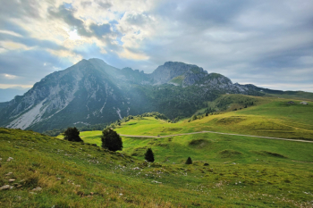
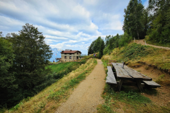
A few more meters, a passage with chain but much easier, and you finally come out at the Camisolo pass with a view of the whole valley. From the Grassi hut, open most of the time and all year round, we prepare for the descent.
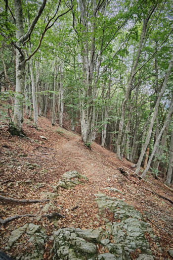
Initially on a bumpy alpine trail and then becomes a nice trail in the woods always surrounded by various technical passages. Final above Valtorta with nice nose presses and we are at the car. Alternative variant: at the fork descend from trail 104A.


