Italiano
 Deutsch
Via del Sale: da Limone Piemonte a Ventimiglia

The complete track of the "Via del Sale" from Limone Piemonte to Ventimiglia. Off-road experience that should not be missing from your adventures as bikers. 120 km. and 3,000 D+ to be divided into 2 or 3 days according to your possibilities. Shorter variant of 1 day here.
If done in 3 days I recommend these stages:
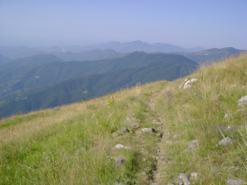
- Limone Piemonte/Rif. Don Barbera: 26 km. and 1,270 m of elevation gain (the mileage has departure from Panice Sottana where I stayed overnight. However, a visit to Limone Piemonte is highly recommended).
- Rifugio Don Barbera/Colle Melosa: 40 km. and 830 meters of elevation gain.
- Colle Melosa/Ventimiglia: 53 km. and 870 meters of elevation gain.
If done in 2 days (as I did):
- Limone Piemonte/Colle Melosa: 66 km. and 2,100 meters of elevation gain (about 7 actual hours pedaled);
- Colle Melosa/Ventimiglia: 53 km. and 870 meters of elevation gain (4 hours 45 min. actual pedaling).
FIRST DAY.
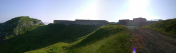
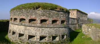
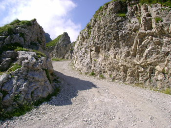
- If you have not planned to arrive in Limone and leave from Ventimiglia by train, but have someone to support you by car, start from where the tour really begins: that is, from the Chalet "Le Marmotte" near the Central Fort at Colle di Tenda. You will thus avoid 13 km. and 800 meters of elevation gain on asphalt. From this point begins the dirt road and the "Via del Sale" signs.
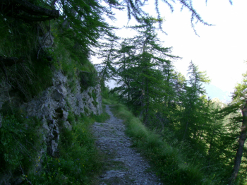
- The most beautiful and evocative stretch of the entire traverse is the one starting precisely from the Chalet "Le Marmotte" to the Barbera Refuge: spectacular (if you stop here, you can organize the tour in 1 day or sleep overnight).
- Centralize your energy from the start. I took it easy in 7 hours (actual riding), but I found bikers who started at 8 am and arrived at Colle Melosa at 10 pm.
- It is a ride that should definitely not be underestimated, if the miles and elevation gain do not already put you on alert.
- Once you start it is difficult to abort it, you have to get to Colle Melosa (since you may have even booked).
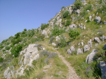
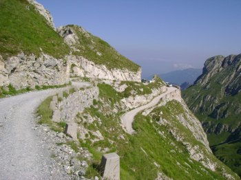
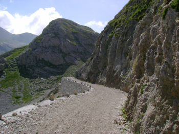
- On the French side is the most disastrous section: from Passo del Tanarello to almost Caserma Sanson where you return to Italy. From here the last exhausting (due to lack of energy) climb to Col Bertrand, from where the descent begins (very stony and to be retraced uphill the next day) to Colle Melosa. The climb to Tanarello Pass is also very stony and challenging.
SECOND DAY.
- If the first day was all about pedaling on wide dirt roads. Today everything changes: at least the 10 km from Passo della Valletta to Rifugio Muratone!.This section is recommended for those who have more than good downhill technical skills and are not afraid to do stretches on exposed (even very) and high slopes.
- From Passo Incisa going around Monte Tanarello pedalable stretch, but very exposed: very, very careful and cold-blooded!
- After descent on a hiking trail, but never trivial with also other exposed sections up to Col du Courbeau where the first variant to the original trail to Rifugio Muratone begins. I hiked this variant without any particular difficulty.
- The long descent is on wide dirt road, but in poor condition, recommended very sturdy bike, good brakes and biammortizzata.
- I also rode the second variant to Ciaixe: recommended.
Itinerary originally posted by Black Devil here.