Rifugio Selleries
The tour starts from Villaretto, to be precise from the large parking lots at the sports field where it is convenient to leave the cars. To get to Depot we took advantage of back roads on the valley floor to avoid the state highway. Longer, but out of traffic. For those who want to shorten you can of course pull straight on the provincial road.
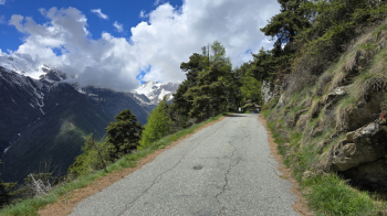
Once in Depot, the real climb begins. Long, with a constant gradient of 10-12%, all asphalt takes us quickly to the Sertorio buildings, after which, made two hairpin bends, we are at the entrance to the Fort of Fenestrelle. We are in a beautiful alpine pine forest! From here the road continues in false level for a little more than a kilometer until Pracatinat where at a fork we will turn right towards "Rifugio Selleries". In the track you will find a nice cut on singletrack that avoids the annoying flat piece in the shade, often a bit cold.
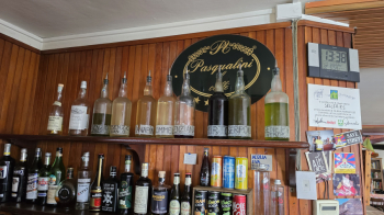
The environment becomes increasingly alpine, the pine forest giving way to wide pastures. A long section on dirt road with some hard ramps allows us to reach the highest elevation of the day (2085 meters). After a false-flat stretch, slightly downhill we reach the Selleries Refuge at an altitude of 2023 meters. After refreshments at the hut we set off on a descent of about 6 km.
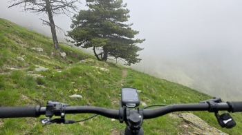
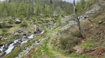
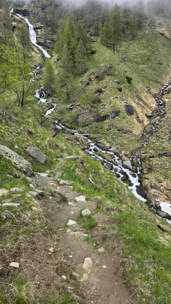
The initial part is on steps, technical in places, then the trail becomes more grassy and super fun, with numerous switchbacks all cyclable. We cross a brook on a small wooden bridge, from there a long midsection in the valley with some beautiful fixed rock sections to overcome at speed. We then reach the hamlet of Selleiraut at 1,500 meters where the asphalt is met. The trail continues, cutting across the asphalt and numerous hairpin bends arriving until Villaretto where we left the cars. Follow the trail to locate the cuts. At Villaretto a small climb was added (optional) to arrive with a very last stretch of singletrack directly into the parking lot.
Ascent 80% asphalt - 20% dirt road.
Descent: initial difficulty S2-S3, then S1.


 Italiano
 Deutsch

