Cogoleto - Beigua - trail Pigo
The itinerary starts from Cogoleto, on asphalt you reach Sciarborasca where at the end of the village (or at the beginning depending on where you arrive, anyway it is near some tennis courts) you take a well-marked road with directions to Eremo del Deserto and Beigua. You follow this beautiful little road through the woods that is not very difficult, although there are 2/3 ramps that touch 13/14%, for about 8 km to the Muraglione pass. Along the way we pass near the Eremo del Deserto, a convent of a (I don't remember which) Franciscan order still kept well in which 5/6 mostly novice friars currently live. Inside there is also a small shop with products made by them or their "fellow" nuns, who obviously live in another institution, such as honey, jams, candies various liquors.
From Muraglione you take the road to the right to Beigua and Alpicella, one km and then another right to Faie. Keeping always to the right you pass through the tiny village following the signs for Beigua, once out of the village begins the cartroad mostly pedalable in the first part and challenging in the final one both for the slopes and for the uneven ground, which in 9 km allows you to reach Pratorotondo. If open, a stop at the refuge deserves and is more than earned, after the stop a couple of km more and you can reach the summit of Beigua, a summit that deserves more for the 360° panorama that you can enjoy, certainly not for the myriad of antennas that tower above it disfiguring the landscape not a little.
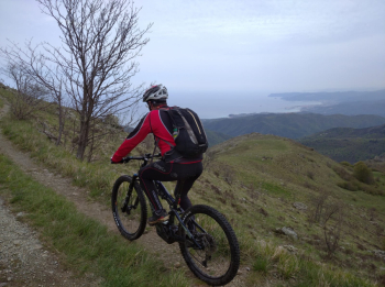
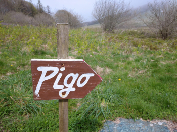
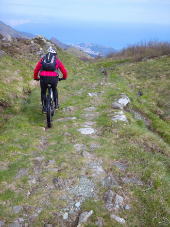
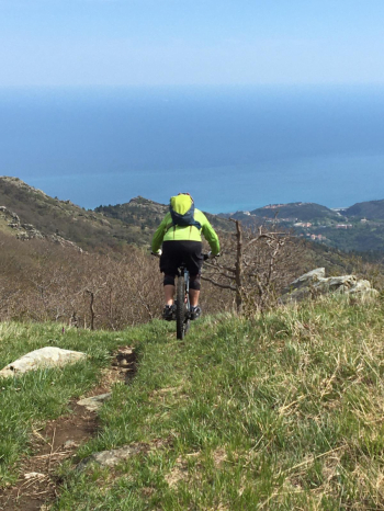
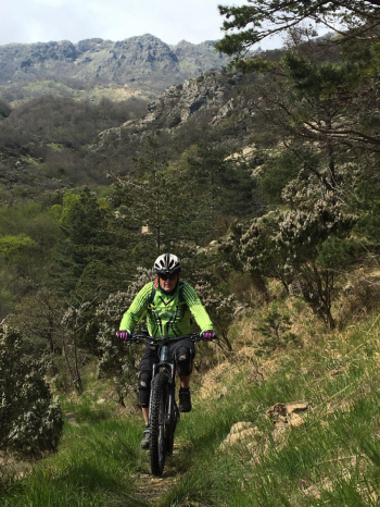
Retrace your steps all the way back to the hut, pick up the uphill trail for about 300 meters until you reach a plateau and turn left onto the trail marked PIGO (it is well marked, as you ascend you notice it very well on your right). It's a challenging trail not to be underestimated, it alternates (few) smooth stretches with badass ones where boulders and various rocks are the master, you have to pay a lot of attention while going along it and don't forget to stop every now and then to admire the view below. Also there is to pay attention to some detours where there is always to keep to the right and not the left marked this one with a red square sticker (it is the track for hikers that always rejoins anyway a few meters ahead). Only toward the end does it give respite when the last stretch of mule track that leads to Sciarborasca begins. Once past the village, via asphalt, you return to the starting point.


 Italiano
 Deutsch
