
 Italiano
 Deutsch
Abbadia Lariana - Piani Resinelli - sentiero Giù la testa!

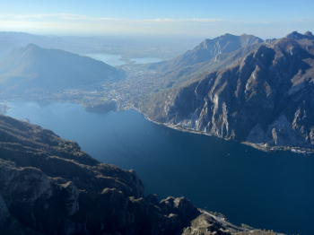
Rather challenging AM/EN route both for the steepness of the climb and the rather technical descent. Departure from Abbadia Lariana (LC) , after following a section of the Sentiero del Viandante (Wayfarer's Path) heading north, you take a mule track/cementary road at times very steep (on the Garmin I read peaks of 25%) up to the Resinelli plans. If you want you can avoid it by going up to Ballabio from the old road from Lecco, mind you have to do a section of the highway 36 to Lecco, and from Ballabio the classic climb all hairpin bends up to the Piani. Once here you can go to Valentino Park and get to the suspended footbridge, from which there is a breathtaking view of Lecco and the lakes of Brianza.
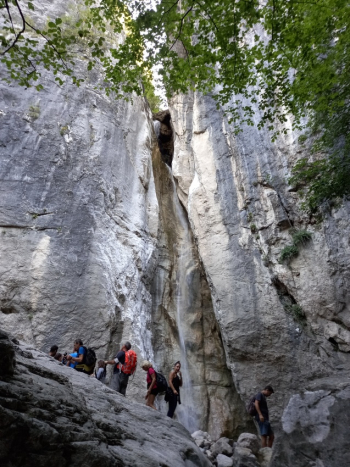
Putting on the protections you start the descent, a S2/S3 at times very technical and steep and with some sections where it is advisable to get off the bike until you cross the mule track that leads to the famous Cenghen waterfall that is definitely worth a visit.
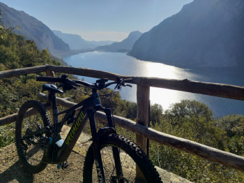
After that a short ascent begins to cross the previous "deadly" climb, after that you arrive in a small plateau with a small hut and another beautiful balcony on the lake.
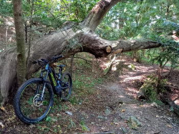
Now begins the final part of the descent, still quite technical and with numerous steps but of great satisfaction, until we cross again the Sentiero del Viandante (Wayfarer's Path) that will bring us back in a short time to the parking lot from where we started. Tour to be avoided in case of heavy rain, especially because of rather steep and slippery sections, protections strongly recommended.


