
 Italiano
 Deutsch
Cornizzolo adrenalinico

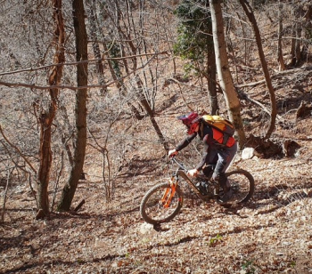
Beautiful and super adrenaline ride on Cornizzolo with two top descents (medium difficulty S3). Start from Civate, we climb towards Pozzo to take the ancient Roman road, a nice gravel-style trail that avoids the tedium of bitumen. Shortly after we come to a trail that inspires little pedaling, the alternative being to stretch on the bitumen and lose elevation gain. We decide to throw ourselves onto the trail.
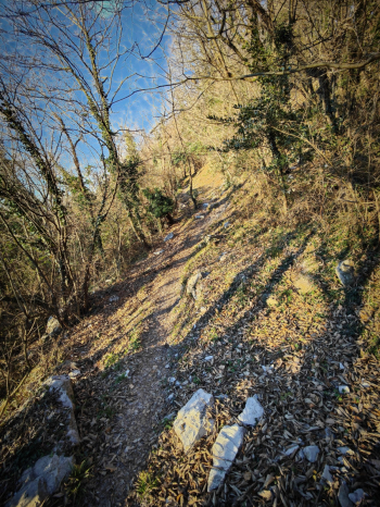
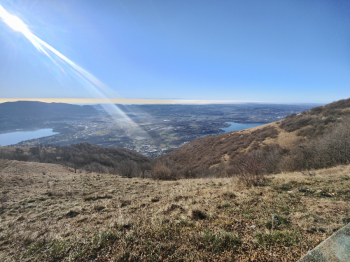
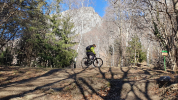
The trail is rideable in emtb (less so in emtb), and comes out on the Cornizzolo climb. From here it is asphalt all the way to the top on a lightly traveled road with beautiful views of the small lakes and a comfortable gradient.
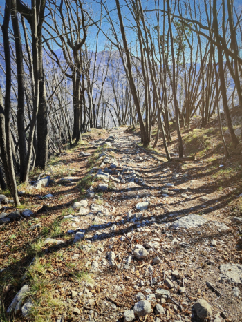
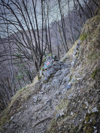
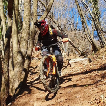
Arriving at the refuge (open Wednesday and Sunday) pads on for the first descent. PATH N 7 For the first 100 meters it is a nice technical with numerous S4 passages. Then it becomes an "easier"(sinfa to say), medium S3 (but inpasses S4 are never lacking) on a sometimes bumpy bottom that adds spice to the descent.
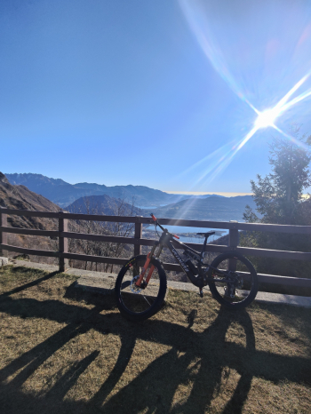
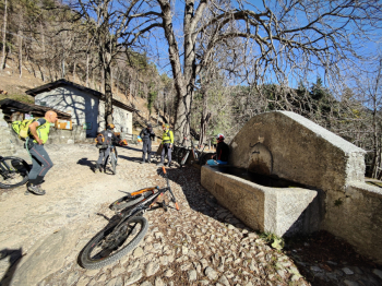
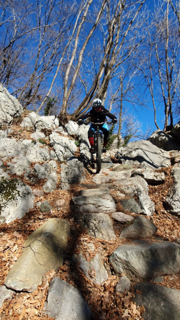
The climb up to Prima Alpe begins, which with a cemented boulder bottom and average 15% gradient becomes very challenging in mtb (easy in emtb). At Prima Alpe we find a nice picnic area and also a nice fountain. We continue for the last 100 meters pedaled and another 60 in trail pushing (or riding if in emtb).
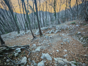
From the collar mega descent. With a comfortable initial mezzacosta then descend on an S4 space rockgarden.
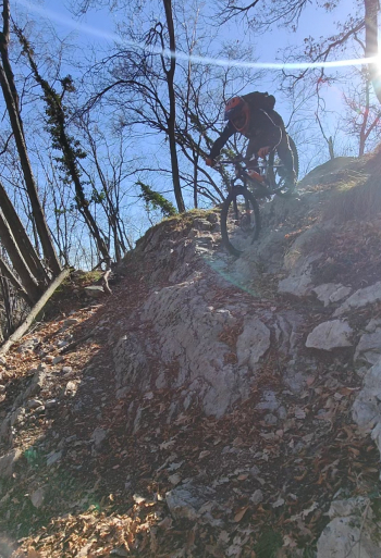
Arriving at St. Thomas we say goodbye to the merenderos laid out to brown in the sun to throw ourselves on the last little trail always nice and peppery S3+/S4.
Trail style: AM/Enduro (but some people were pedaling trails)
Personal rating: 10/10
MTB: yes
EMTB: yes
Difficulty ascent: challenging initial trail, then comfortable on asphalt, and challenging on the last ascent
Difficulty descent: S3/S4
Drainage: ND


