
 Italiano
 Deutsch
Predore Darkside

Here is the dark side of the Bronzone! The one where you have to be careful about getting carried away, otherwise you get sucked in by the urge to look for the megatechnic and everything else will seem like a walk by the river. Here I wanted to group three super-technical descents medium grade S3+/S4!
You can tailor the ride to your own height difference:
- 1550 meters full lap.
- 1200 meters without going up to Bronzone.
- 850 meters only with final descent south of Predore cross.
Ascent as per trail recommended only by emtb, by mtb I recommend to climb from Viadanica(trail). To reach the first descent we follow to the Gombo Alto refuge this track or continue from the trails south of Bronzone (last 150 meters push on what will then be our descent, not bad to study the passages). Full S4 descent.

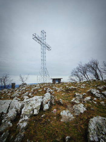
We continue to the Predore Cross while looking at the view, but watch for the overhang.
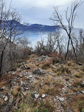
We descend keeping to the right in the meadow to start warming up the oil at the fork in the mini rock garden, after 100 meters of meadow arrived at the house we keep to the right and after the house again to the right, take the bike in the little pedalable path for about 40 meters and start the beautiful S3/S4 rock descent that will pop out 400 meters below.

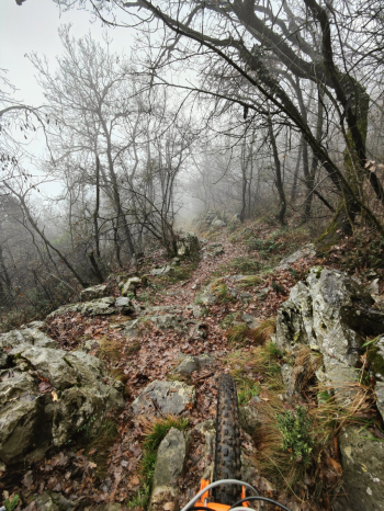
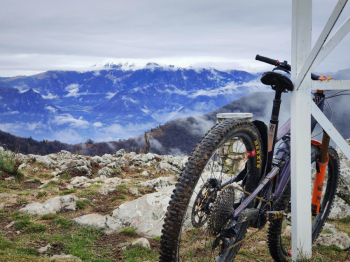
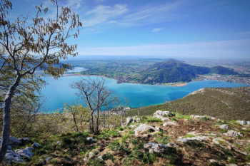
We ascend by road for about 300 meters and then on push trail for about 100 and reconnect with the descent that descends south of the Predore cross. The trail continues with numerous technical S3/S4 passages in beautiful rock gardens to the lake (more photos will follow).
Trail style: AM
Personal rating: 9/10
MTB: yes (but climb from other trail)
EMTB: yes
Duration about 2/4h (in emtb) depending on the ride
Not in the saddle: about 100 meters pushing
Difficulty ascent: very challenging
Difficulty descent: S3+/S4
Drainage: yes but wait for the rock to dry.


