
 Italiano
 Deutsch
Croce di Predore Punta Alta A-R

Tour with beautiful views not particularly complex (medium difficulty S2/S3), which will ride along the ridge of Punta Alta to touch the Predore Cross. We climb from Sarnico towards Viadanica on asphalt until the church of the Alpini with comfortable gradients, then after a very challenging tear on concrete the road becomes more rideable again (As an alternative to the climb from Viadanica it is also possible to climb from this track). From here begins a nice S2 descent with a few final S3 passes that comes out again at the church of the alpini.
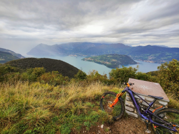
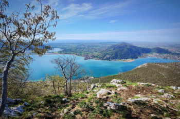
We climb back up to the Rolla from where a nice flowing descent with some banks begins, disembarking on a hill where we get a glimpse of the TOP view of the lake,
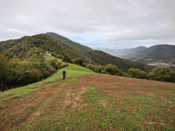
From here after a nice 50% rideable eat and drink with emtb we arrive at Punta Alta.
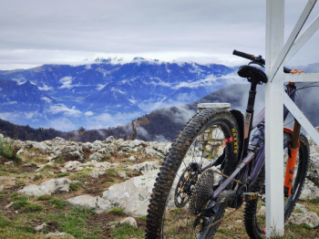
Here the view is a spectacle, with views of the lake and Montisola.
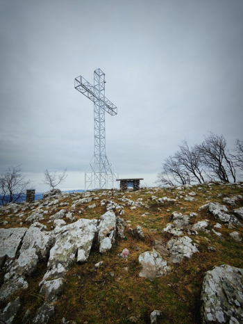
Now we retrace our steps and what was a push trail becomes a nice pedalable trail. We stop at the Predore cross (great views).
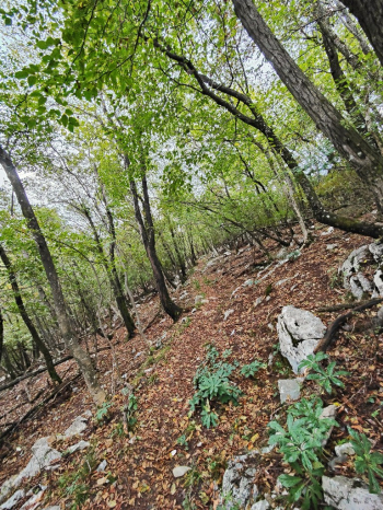
From here we descend on prairie and then enter a short S2 trail with with some technical S3/S4 passes (most technical part of the whole ride). After the first 200 meters (at elevation 600) the descent becomes nice very manageable S2 single track in the woods that will take you back to the lakeshore.
Personal rating: 8/10
Track style: AM
Duration about 3.5h (in Emtb) 4.5 in Mtb
MTB: yes (but watch out for steep slopes)
EMTB: yes (but if you don't mind pushing it)
Portage: from Rolla to Punta alta it's all pushing
Difficulty uphill: very challenging
Difficulty descent: average S2
Drainage: very draining, but at least wait until the rocks are dry.
Exposed sections: no


