Italiano
 Deutsch
Due Graziani ed un Altissimo, grazie!
Revisiting the ride posted recently by IronMike done with Lazzadielle.
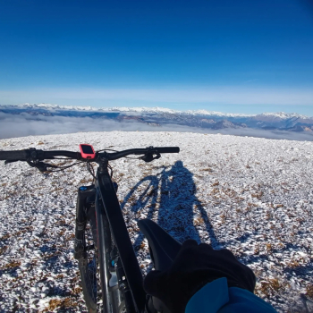
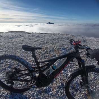
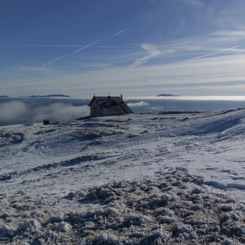
From the parking lot of San Giacomo di Brentonico climb up on busy asphalt and then on a road interdicted to traffic to Rifugio Graziani, continuing on CAI 633 which is a forestry now flattened (many years ago it was much rougher) to the summit of Monte Altissimo from which there is an atomic view of #garda and Trentino, by the way beautiful today since I was just above the clouds.
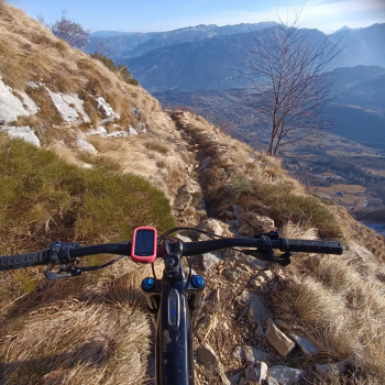
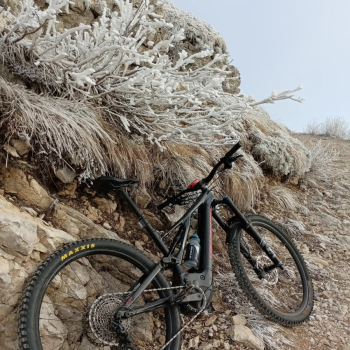
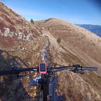
Break at Rifugio Damiano Chiesa, descent from CAI 622 on initially wide mixed trail alternating between technical rock and at times instead grass. From Malga Campo I then take CAI 650 which has an easy but super exposed traverse almost all cyclable and then at times also beautiful layers of fixed rock downhill always on traverse. We continue into a beech forest on a rather technical trail however in a carpet of beech leaves so it is not the right season to do this, I promised myself to be back when there are no leaves.
Arrived at Festa locality continue on cemented and dirt then and then again beech forest all uphill very nice off the road, then passed again by the parking lot of departure and again paved road made at the beginning until the Graziani refuge, but this time from there I took the dirt road that remained at altitude i.e. CAI 650 - here I could go up a bit for the "Sentiero dei Cirmoli" but a friend told me that it was not very cyclable - went down by forestry to Malga Campo and this time instead down the 622 that at the beginning is grassy with some gullies nothing much and then gets rough in certain places; then goes back into the woods on a bed of beech leaves however nice and technical loose. The last little piece on leafless beech forest for a very nice finish, return to the parking lot