Italiano
 Deutsch
Cima Avez e la Val Lorina alla scoperta della cascata d'Ampola

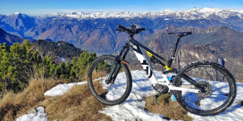
We start right from the Ampola Waterfall and ascend toward the Tremalzo Pass. We deviate to the lesser known Cima Avez where the views are spectacular. The descent all to be discovered.
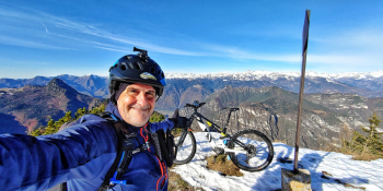
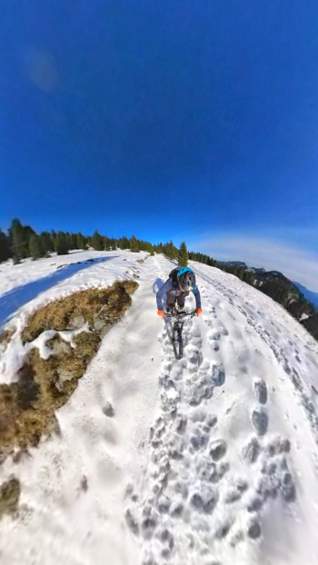
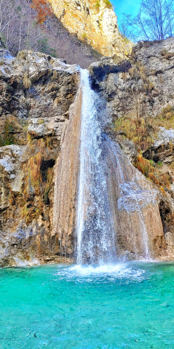
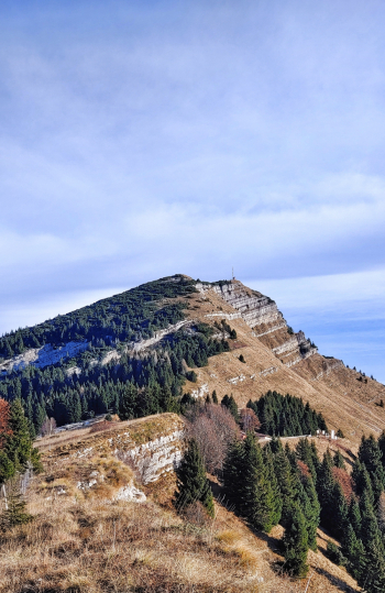
We leave the car in the parking lot adjacent to the Ampola Waterfall just after the village of Storo. We climb toward Tremalzo on a paved road and reach the viewpoint before the Alpe del Garda Refuge. This first part will be the most tedious, but then at the fork we will deviate to the right and head toward Passo del Dil. Now a last section that is all pedalable will lead us to the summit of Cima Avez at 1,895 meters. The views will be sublime and unique. From here now begins the descent. First part on the ridge then on comfortable gippabile until we reach Bocca di Selvaronda and malga Pra di Lavino. Now first suggestive and wild stretch in the leaves that will allow us to reach Malga Spiazzo. When we reach the dirt road coming from the Pisù waterfalls, we deviate to the right and reach the mouth of Lorina. From this point a quick two-minute push and we will be at Passo Valesina. Well here we are, now it will be all downhill. The first section all undergrowth with freeride sections never extreme and above all doable in the saddle. We will reach the Lorina barns and from there we will realize the force of nature that has literally destroyed the Lorina valley with the stream that wiped out the main road. We will descend comfortably on gippabile and head back toward the Ampola waterfall for the last ritual photos.
RECOMMENDED ROUTE FOR MOUNTAIN BIKE and/or E-BIKE ALL MOUNTAIN.
NB: At the time of entry this ride is all doable without any particular problems. We disclaim any responsibility for any inconvenience due to lack of maintenance of the trails or deterioration of the same due to external and/or natural agents and a wrong assessment of the tour.