Italiano
 Deutsch
Il Rifugio Nasego e le Creste dalla Corna di Savallo

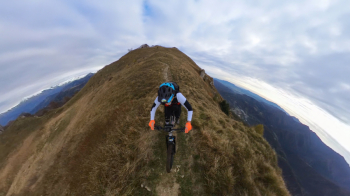
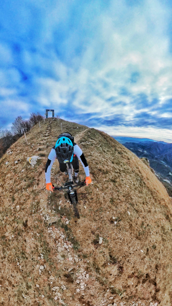
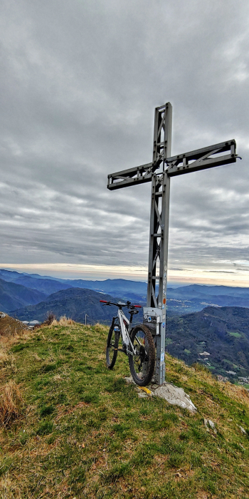
Two years ago they fixed a trail leading to Rifugio Nasego in Val Sabbia from the south side. So we try it for you to tackle the ridges of the Corna di Savallo where you can enjoy a unique panorama for an intense descent.
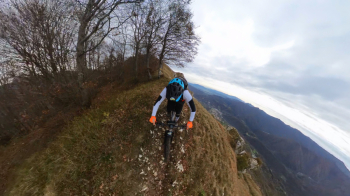
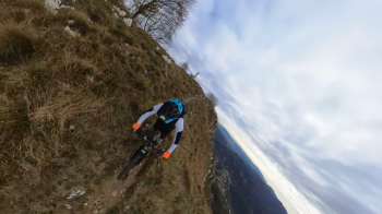
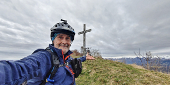
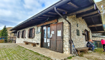
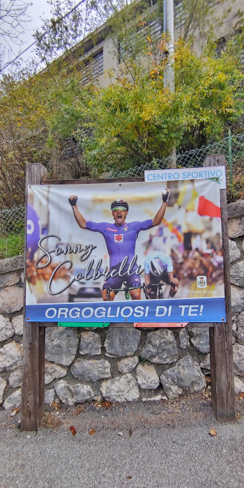
Let me preface immediately that the trail in question enjoys a good gradient in some sections and we tackled it with an assisted bike. However, the big advantage is that going up south side you can reach the hut warmer, without having to carry your bike on your back. So we start from Casto (BS), the town of the great Sonny Colbrelli, and on asphalt we reach Famea. From here we get out of reality and on gippabile road we continue immersed in the Val Sabbia. Having reached Cocca di Lodrino now the games get serious: significant gradients and bumpy sections but overall a very nice climb. Not without effort we arrive at the Nasego refuge, a lovely place. Now last effort and push towards the Corna and Croce di Savallo. Here you will be in heaven and after a proper rest let's prepare for a descent on the ridge not bad. We return toward the refuge then off to the Nasego Trail very bumpy with technical passages to the limit until the Comero locality. From this point the games are done and the trail becomes much easier. In a few minutes we will be back at the starting point.
RECOMMENDED ROUTE FOR MOUNTAIN BIKE and/or E-BIKE ALL MOUNTAIN.
NB: At the time of entry this ride is all doable without any particular problems. We disclaim any responsibility for any inconvenience due to lack of maintenance of the trails or deterioration of the same due to external and/or natural agents and a wrong assessment of the tour.