Monte San Giorgio
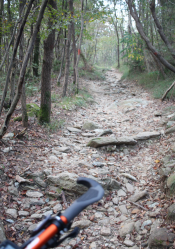
Departure from Sangano, after 500 meters of asphalt you take a path that in the stretch up to San Valeriano alternates flowing stretches, short stony ramps, nice traverses. Varied terrain and varied vegetation, chestnut trees, cedars, hornbeams, hazels, maples, oaks, lindens; since the early 1900s reforestation has been implemented mainly with black pine, maritime pine and larch.
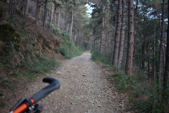
The collar of San Valeriano at 427 meters is 5 minutes from the chapel, 5 km and 150 meters above Sangano; the chapel has origins in the 1600s and is named after a martyred Roman soldier. Now begins a long dirt road in the midst of a black pine forest that in 4 km rises 400 meters to arrive at Monte San Giorgio at 837 meters.
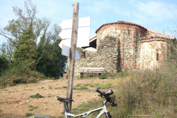
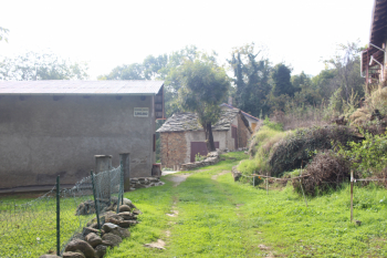
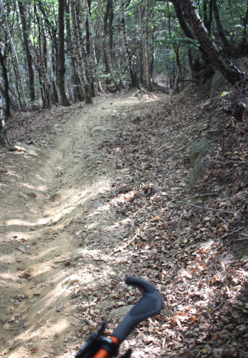
The 10th-century Romanesque chapel is transennaded with danger of collapse. On a clear day there would be a view south from Mount Argentera to lower Val Susa and Val d' Aosta with Monciair, Ciarforon and Gran Paradiso. We descend to the Serva pass at 726 meters to take the trail to Monte Pietraborga, in the first section with some ascents and small rocky sections. The 'wide dirt road overcomes the descent path, I continue to the sockets of Sangano, very wooded mountain places where the 'rural economy was centered on cultivation, the production of coal and the care of chestnut trees. Return to the 'outlet for the Boar Trail, almost 2 km of descent on flowing terrain with short steep and stair-step sections to return to Sangano.
Detail of the first section of single track
Ascent to Monte San Giorgio, wide dirt road with average gradient of 10% and dense black pine forest
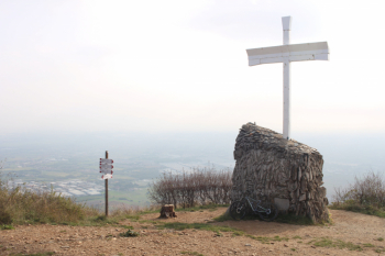
Mount San Giorgio
Romanesque chapel
Prese di Sangano
Wild boar trail


 Italiano
 Deutsch

