HOME RANKINGS CHALLENGES ROUTES NEAR ME PLANNING SEARCH LOGIN
Switzerland
2023/09/26 09:49:39

Torrenthorn

11 Downloads
0
 
Share
Author
Place
Switzerland
Km
49,16 km
Elapsed time
00:00:00
Vertical meters
+2 832 mt (710 - 2988)
Route difficulty
Landscapes
Last update
2023/09/26 10:33:14
Comments
0
Description

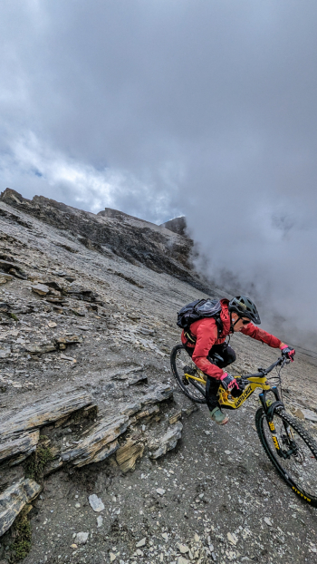
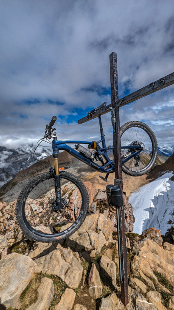
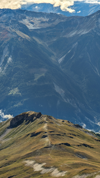
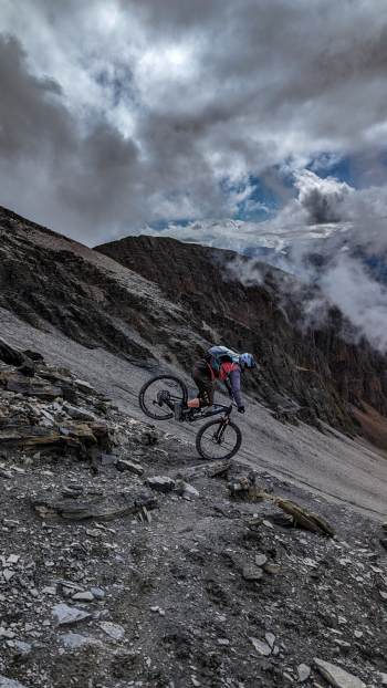
Epic tour in the Swiss Alps of Valais where we will go to reach the summit of the Torrentthorn. We start in Leuk loading the bike on the bus (15 CHF) to reach the town of Leukerbad. From here we continue pedaling initially on asphalt and then on comfortable forest roads that will take us up to an altitude of 2400. The last part reaching the summit is tackled by pushing or carrying bikes. From the top the view is incredible The first part of the descent is on the uphill track, a spectacular ridge!

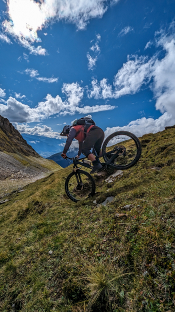
Then you continue until you reach the village of Leuk again on beautiful natural trail and mostly smooth and fast. Descent difficulty S2 except for a few passages in S3. Arriving in Leuk we already have 1900 meters of elevation gain in our legs and depending on time/willingness you can decide whether to climb back up the opposite ridge to go for another fun descent.
Download our free mobile app to send this route to your Garmin device or to navigate it on OSM maps. Android - iOS
Local weather
Today
1 °C
Tonight
-1 °C
Tomorrow
0 °C
Tomorrow night
-12 °C
Sunday
-3 °C
Sunday night
-12 °C
Monday
1 °C
Monday night
-6 °C
Tuesday
4 °C
Tuesday night
-3 °C

Graph

Nearest Routes

2022/10/09
- Switzerland
marco
(135)
27,75 km
Km
+191 mt
Vertical meters
Route difficulty
Landscapes
2022/10/09
- Switzerland
marco
(135)
37,05 km
Km
+945 mt
Vertical meters
Route difficulty
Landscapes
2023/10/31
- Switzerland
Staff
(87)
30,95 km
Km
+1 791 mt
Vertical meters
Route difficulty
Landscapes
2022/10/09
- Switzerland
marco
(135)
28,11 km
Km
+679 mt
Vertical meters
Route difficulty
Landscapes
2023/11/09
- Switzerland
33,26 km
Km
+1 400 mt
Vertical meters
Route difficulty
Landscapes
2024/08/05
- Switzerland
Staff
(87)
12,15 km
Km
+122 mt
Vertical meters
Route difficulty
Landscapes
2023/09/29
- Italy - Valle d'Aosta, AO
gmzolenart
(115)
14,52 km
Km
+864 mt
Vertical meters
Route difficulty
Landscapes
2022/08/22
- Italy - Valle d'Aosta, AO
nonnocarb
(292)
19,23 km
Km
+899 mt
Vertical meters
Route difficulty
Landscapes
27,22 km
Km
+1 332 mt
Vertical meters
Route difficulty
Landscapes
2023/09/29
- Italy - Valle d'Aosta, AO
pozzoligio
(93)
47,97 km
Km
+2 400 mt
Vertical meters
Route difficulty
Landscapes

0 Comments