Spitzhorli, tra il Leone ed i 4000 del Vallese
Splendid allmountain and cyclo-mountaineering route in the Simplon Mountains, in the presence of Mt. Lion with views of the 4000s in Valais. Route for lovers of the genre but not too difficult with "comfortable" push or shoulder section in the upper part (I refer to muscle bikes). Always gradual ascent never too steep in a heavenly setting (except for a terrible initial section parallel to the long open tunnel of the Simplon road). Panorama from the summit sublime. Very beautiful descent, practically all on path to the bottom (to the church of Simplon Dorf), never too difficult except for a few passages here and there.
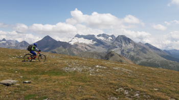
Ascent: start from Simplon Dorf, 1476 m, parking lot by the church. Go up the old road, almost all paved, to Simplon Pass. From here you go to the Hopschusee pond, 2018 meters. Continue along the trail to the Üessere Nanzlicke pass, 2602 m. (pushing sections). Now turn right and you have to go up the wide ridge that leads to the anticima, equipped with a cross, 2725 meters. Just before on the left (west) you spot the trail that continues to the flat main summit of Spitzhorli, 2737 meters. From here there is a sublime panorama (you can also see a section of the Aletsch Glacier).
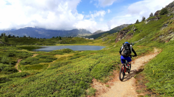
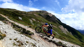
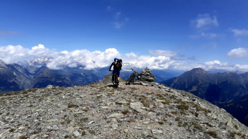
Descent: a couple of not-too-difficult drops then all smooth along the same ascent route to Üssere Pass N. Here you continue keeping slightly to the right in the direction of the Bistine Pass, 2417 meters, along a beautiful trail, very smooth, even too much so. From the pass you descend to Gampisch. Here the descent becomes a little technical but never too difficult. Very beautiful.
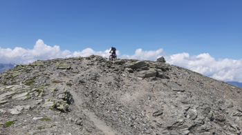
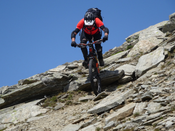
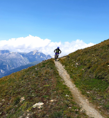
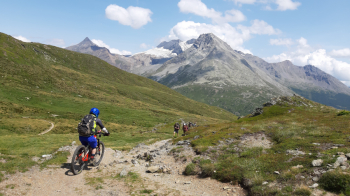
Just above the old hospice the uphill trail crosses. You retrace a short stretch of asphalt road uphill until you spot the Simplon trail on the right. A stretch up and down and then begins the gradual descent, mostly smooth, with a few more technical passages here and there leading to the Simplon Dorf church, the starting point.


 Italiano
 Deutsch