Italiano
 Deutsch
Cortina di ferro - Il giro più bello del mondo

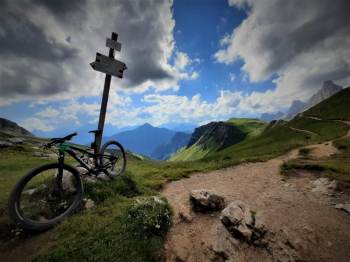
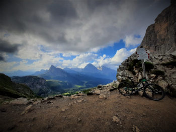
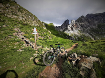
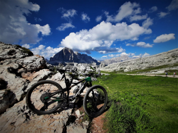
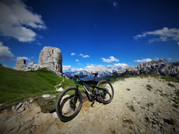
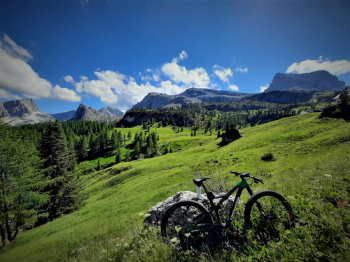
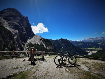
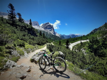
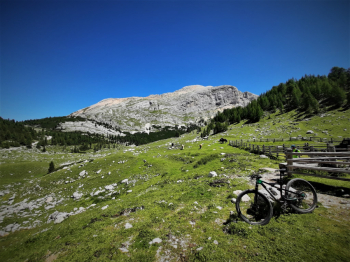
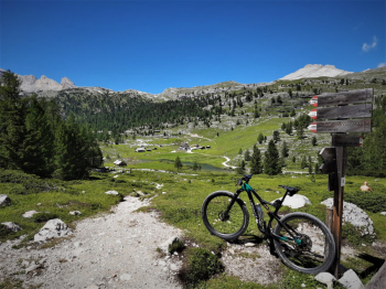
Mtb Action USA, more or less 20 years ago, ranked this as the most beautiful trail in the world, first traced and ridden by a couple of friends from Friuli like me, from this original came the various "5 refuges", "5+2 refuges", etc. I was never able to find the original trail, not even by writing to Mtb Action, but thanks to the information gathered I reconstructed it putting something of my own into it and the result is a memorable 97km x 4609 elevation gain ride that in terms of views I think has few equals, I was able to shoot it in a day but the numerous overnight possibilities scattered along the route offer the possibility of breaking it into two or three days. There are two bike-on-bike sections, the descent from the Belvedere del Col de l'Ocia along trail 11, 250 meters for 1km on a trail that is however also climbed and then the ascent to Forcella Giau, 200 meters for about 1.5 km, there are also numerous bike-on-bike sections especially in the section between Passo Giau and Forcella Ambrizzola. This is not a ride for roadies lent to mtb or even for those without mountain experience, but it is truly spectacular.
This is the itineraio:
Rio Gere, Passo Tre Croci, Passo Sonforcia, Val Padeon, Ca Ospitale, Forc. Lerosa, Malga Ra Stua Rif. Sennes, Rif. Fodara Vedla, Rif. Pederù, Rif. Fanes, Passo di Limo, Malga Gran Fanes, Col Locia, Capanna Alpina, Malga Valparola, Passo Valparola, Passo Falzarego, Rif.Col Gallina, Rif.De Dones, Rif.5 Torri, Rif.Scoiattoli, Rif.Averau, Rif.Fedare, Passo Giau, Forc.di Zonia, Forc.Giau, Forc.Ambrizola, Rif.Croda da Lago, Malga Federa, Cortina, Rio Gere.
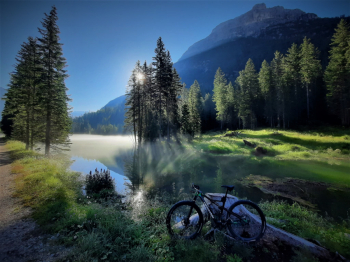
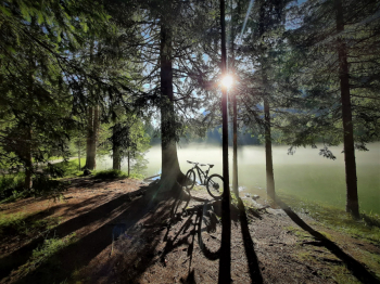
Personally I recommend the departure from Rio Gere especially for those who intend to do it in the day, by doing so you are almost sure to be on asphalt at dusk, the last km will be yes of ascent but on bitumen away from the pitfalls that the woods can give in low visibility conditions.
The flying tour: Relive 'Iron Curtain'