
 Italiano
 Deutsch
Cima Paradisi
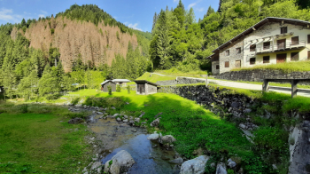
We leave the village of Caoria and take the Scalon road that climbs, initially on asphalt and then dirt, the Valsorda. After 4.5 km we arrive at Ponte Stel (WP01) that crosses the Rio Valsorda where we can also have water at the fountain.
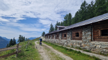
The road continues to climb with well-pedaled gradients until km 12.5 where we cross Malga Fossernica di Fuori (WP02) at an altitude of 1801 meters.
After another km we reach a point where an old military road comes off to our right, we take it uphill pushing or shouldering the bike for about 200/300 meters. Once we get over this first difficult section we will be able to alternate between pedaled and a few pushed sections (no need to shoulder) for about 2 km.
When we are in sight of the fork a 15 min shouldering will be necessary. Upon reaching Forcella Paradisi (WP03) at an altitude of 2080 after 16 km..
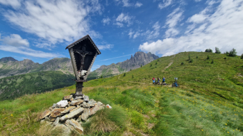
..we will have time to take a little rest and prepare for the assault of Cima Paradisi at elevation 2206 (WP04) with a last km all by bike on our shoulders. From the point where the old military starts to the summit it takes about an hour and a half.
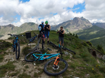
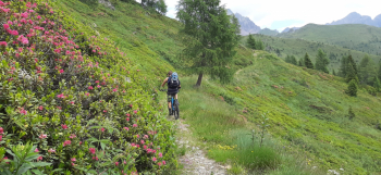
Once we have admired the panorama that sweeps 360° from this position we put on our protections and, slightly retracing our steps, we take to our left the obvious trail that descends through the meadows. The trail is very nice and fluid until it enters the woods, then it becomes the classic Lagorai trail, mangy because in the middle of the descent there are boulders that must necessarily be climbed over. However between ups and downs we quickly arrive at Malga Fossernica di Dentro (WP05) at an altitude of 1773 after 19.8 km. We now follow the dirt road that connects the two huts with an up and down trend for about 3.6 km until we reach the attack of the Lavedin trail (WP06) that will take us back to Caoria.
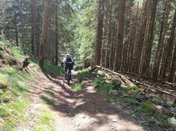
It is a nosedive that starts out easy and only from the halfway point on becomes slightly more challenging. The passages are never too technical but physically tiring; so after 3.5 km of adrenaline rush we will be where this adventure began.
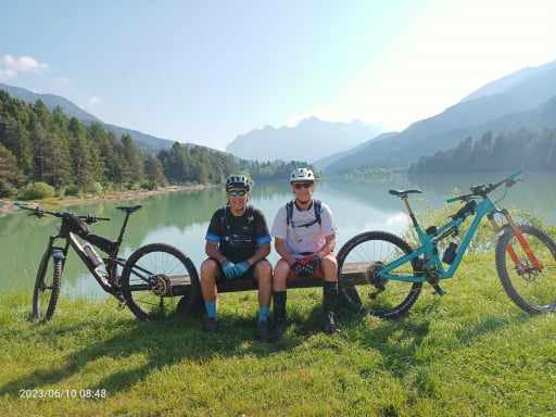
Francis 08/07/2023


