HOME RANKINGS CHALLENGES ROUTES POI PLANNING SEARCH LOGIN
Italy - Trentino-Alto Adige/Südtirol, BZ
2023/06/01 09:35:37

Silandro - Göflaner Alm - Holy Hansen trail

1 Downloads
0
 
Author
Robibz
(19)
Place
Italy - Trentino-Alto Adige/Südtirol, BZ
Km
31,15 km
Elapsed time
06:10:27
Vertical meters
+1 173 mt (754 - 1872)
Route difficulty
Landscapes
Last update
2023/06/01 10:31:52
Comments
0
Description

Interesting tour starting in Silandro, leading up to the Göflaner hut and then descending from the "Holy Hansen" trail. As a cue I took a trail from Ude, the descent however is another. You start by following the bike path to Lasa, from here you climb up slopes that are never too challenging (except at one short point you will have to push). Just before you get to the hut, don't be misled as I was, don't follow the trail sign #9 with directions to the hut, but follow the forest. If you want, before you get to the malga, you can continue until you reach the marble quarry.

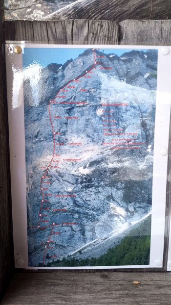
From the hut you can admire a beautiful view of the Venosta Valley as well as find some reports on interesting climbing routes (maybe you can do a combo in two days).


From here starts the descent, which, in my opinion, in the first part is perhaps more suitable for e-bike users, as there are many relaunches on roots and fixed rocks, nothing that cannot be done possibly by pushing. Having done the traverse, we arrive at the beginning of the "Holy Hansen" trail that takes us to Covelano. For those who have never done the trail in question, go remedy it, it is one of the most beautiful trails in the valley.

When you reach the bottom, you can easily return to the parking lot at Silando.


Download our free mobile app to send this route to your Garmin device or to navigate it on OSM maps. Android - iOS

Graph

Nearest Routes

2022/10/26
- Italy - Trentino-Alto Adige/Südtirol, BZ
nonnocarb
(266)
32,13 km
Km
+2 033 mt
Vertical meters
Route difficulty
Landscapes
2022/10/30
- Italy - Trentino-Alto Adige/Südtirol, BZ
nonnocarb
(266)
72,93 km
Km
+2 970 mt
Vertical meters
Route difficulty
Landscapes
27,47 km
Km
+1 500 mt
Vertical meters
Route difficulty
Landscapes
28,35 km
Km
+1 500 mt
Vertical meters
Route difficulty
Landscapes
2023/03/07
- Italy - Trentino-Alto Adige/Südtirol, BZ
nonnocarb
(266)
37,04 km
Km
+1 770 mt
Vertical meters
Route difficulty
Landscapes
2023/03/04
- Italy - Trentino-Alto Adige/Südtirol, BZ
nonnocarb
(266)
26,12 km
Km
+1 250 mt
Vertical meters
Route difficulty
Landscapes
2023/03/07
- Italy - Trentino-Alto Adige/Südtirol, BZ
nonnocarb
(266)
51,34 km
Km
+980 mt
Vertical meters
Route difficulty
Landscapes
2023/03/04
- Italy - Trentino-Alto Adige/Südtirol, BZ
nonnocarb
(266)
45,04 km
Km
+1 520 mt
Vertical meters
Route difficulty
Landscapes
2024/01/05
- Italy - Trentino-Alto Adige/Südtirol, BZ
nonnocarb
(266)
18,66 km
Km
+1 050 mt
Vertical meters
Route difficulty
Landscapes
2023/02/20
- Italy - Trentino-Alto Adige/Südtirol, BZ
nonnocarb
(266)
25,45 km
Km
+1 033 mt
Vertical meters
Route difficulty
Landscapes

0 Comments