
 Italiano
 Deutsch
2023/03/17 13:17:52
monte Penice, discesa Arturo
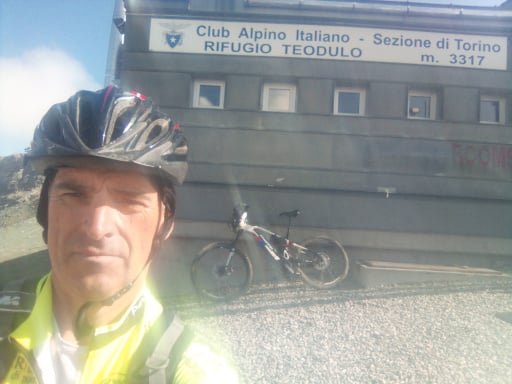
Author
Place
Italy - Emilia-Romagna, PC
Km
45,57 km
Elapsed time
04:34:02
Vertical meters
+1 869 mt (256 - 1461)
Route difficulty
Landscapes
Last update
2023/03/18 07:31:23
Comments
Description
Beautiful counterclockwise ride with arrival on the summit of Mt Penice, very nice view from Il Groppo rock and beautiful waterfall of Carlone stream. Departure from Bobbio uphill then flat to Ca Borelli, dirt climb to Pianelli and the Il Groppo rock with beautiful views. Follow Tidone trail to Casa Matti, then paved climb then dirt road to Penice peak.
Long downhill trail to the Ceci ski slope, pass the refuge and at the pass follow the ridge to the marked Arturo descent, easy but challenging. When you get to the creek the trail becomes rocky and more challenging, very nice Carlone waterfall. With asphalt and a path you return to the start.
Graph
Nearest Routes
2023/04/02
- Italy - Emilia-Romagna, PC 29,88 km
Km
+1 312 mt
Vertical meters
Route difficulty
Landscapes
34,59 km
Km
+1 453 mt
Vertical meters
Route difficulty
Landscapes
2024/03/31
- Italy - Emilia-Romagna, PC 28,30 km
Km
+1 290 mt
Vertical meters
Route difficulty
Landscapes
29,97 km
Km
+1 672 mt
Vertical meters
Route difficulty
Landscapes
51,66 km
Km
+1 450 mt
Vertical meters
Route difficulty
Landscapes
39,99 km
Km
+1 530 mt
Vertical meters
Route difficulty
Landscapes
35,50 km
Km
+1 427 mt
Vertical meters
Route difficulty
Landscapes
2023/12/27
- Italy - Emilia-Romagna, PC 20,97 km
Km
+1 025 mt
Vertical meters
Route difficulty
Landscapes
32,38 km
Km
+1 500 mt
Vertical meters
Route difficulty
Landscapes
66,61 km
Km
+2 450 mt
Vertical meters
Route difficulty
Landscapes